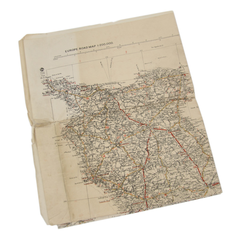


Map, British, CHERBOURG-ROUEN, Normandy, 1941, Annoted, Utah, Omaha Beach
€295.00
Tax included
Rare genuine WWII British map, Cherbourg-Rouen, First Edition, Sheet 54, scale 1:200,000.
This map, which roughly encompasses the northern half of mainland Normandy, along with the Channel Islands, includes all DZs, LZs, and landing beaches of Operation Neptune.
Edited by the Geographical Section, General Staff of the War Office in 1941.
Good condition; shows annotations with some units and areas.
Dimensions: 27.9in x 44.4in.


