

Lot of Four Allied Maps, Belgium and Germany, 1944, 504th PIR, 82nd Airborne Division
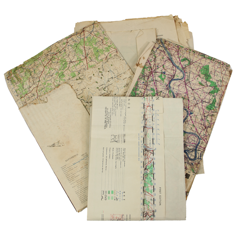
Rare lot of four genuine WWII Allied maps, edited by the General Staff-Geographical Section of the War Office in 1943-1944 and covering various areas of Belgium and Germany -- scale: 1:100,000:
- Belgium & N.E. France, Marche, First Edition, Sheet 13 (about 23.6in x 35.4in); quite interestingly, this map was printed on the reverse of a German map covering the northeastern tip of England;
- Central Europe, Bonn, First Edition, Sheet S.1. (about 27in x 37.4in);
- Central Europe, Köln, First Edition, Sheet R1 (about 23.4in x 41.7in); mention Richard Wagner 504 Prcht Inf. has been written on the top of this map;
- Central Europe, Essen, First Edition, Sheet Q1 (about 27.9in x 38.6in cm).
Homogeneous set, in used condition; the above-mentioned annotation indicates that the present maps once belonged to some Richard R. Wagner, Regimental Headquarters, 504th Parachute Infantry Regiment, 82nd Airborne Division.


