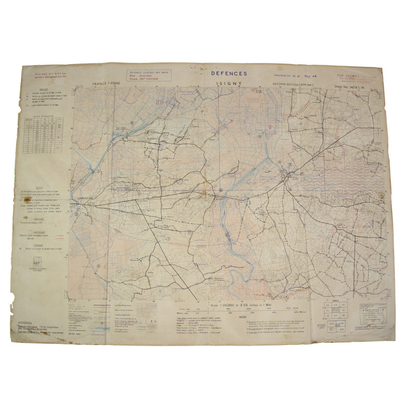
Map, Allied, ISIGNY, 'Top Secret', 1944, Normandy
search
Map, Allied, ISIGNY, 'Top Secret', 1944, Normandy

Map, Allied, ISIGNY, 'Top Secret', 1944, Normandy

€1,495.00 Tax included

Rare genuine WWII British map, IsignySheet 34/18 S.W., scale 1:25,000.

The present map, which bears mention 'Top Secret', actually covers the German defenses in the vicinity of Brévands, Carentan (East), Montmartin-en-Graignes and Isigny.

Edited by the General Staff-Geographical Section of the War Office. S

econd edition, April 1944.

Quite good, used condition; found in Normandy.

Dimensions: 20.9in x 27.9in.

Product Details

ANC49200-PC