


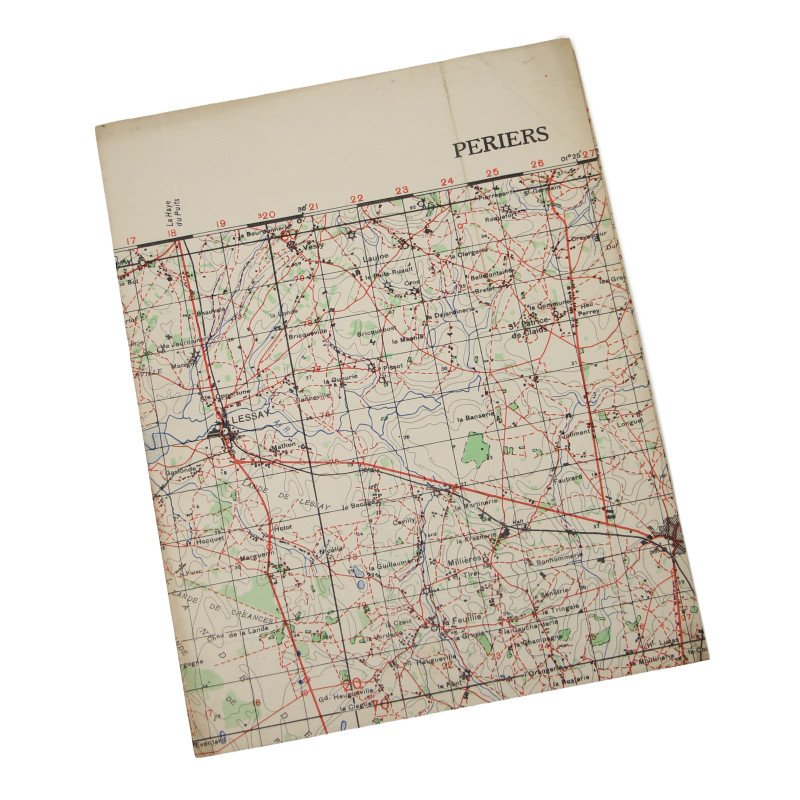


Map, British, PÉRIERS, Battle of the Hedgerows, 1943
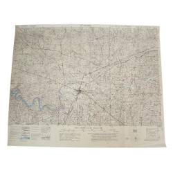
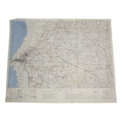
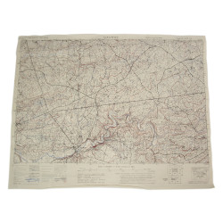
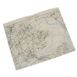
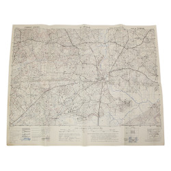
Genuine WWII British map, Périers, Second Edition, Sheet 5F/2&6F/I, scale 1:50,000.
Edited by the General Staff-Geographical Section of the War Office in 1942 and reedited in 1943, this map covers a large perimeter around the town of Périers, Normandy, France, which includes various localities such as Lessay, Saint-Sauveur-Lendelin et Marigny.
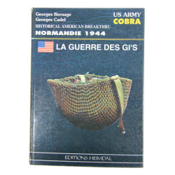
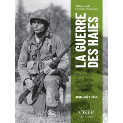
The whole perimeter saw some fierce fighting between American and German forces in June and July 1944 — the bloody 'Battle of the Hedgerows' — until Operation Cobra, which ultimately allowed the breakthrough towards Avranches.
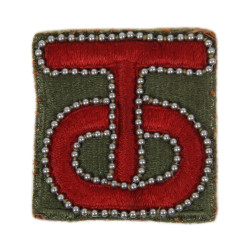
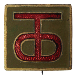
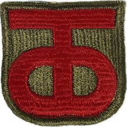
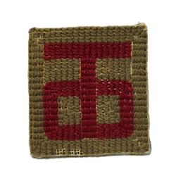
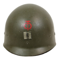
Périers itself was eventually liberated by elements of the 90th Infantry Division on July 27, 1944.
Very good overall condition.
Dimensions: about 21.65in x 33in.
Product Details
JPG