



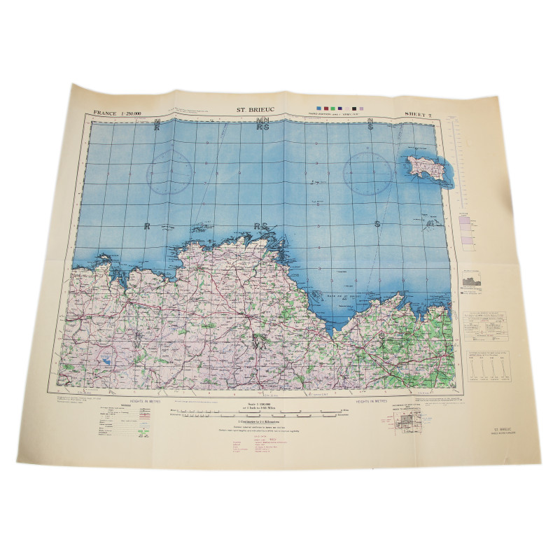
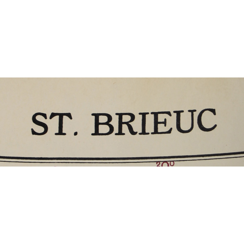
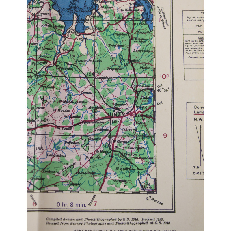
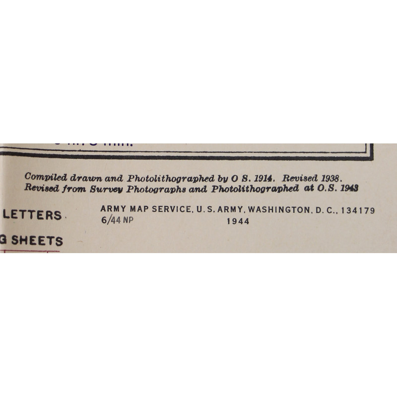
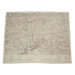
Map, British, ST. BRIEUC, Brittany, 1943
€35.00
Tax included
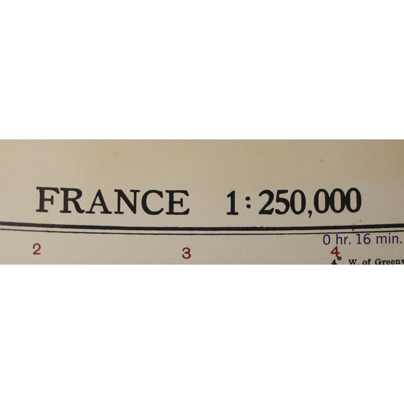
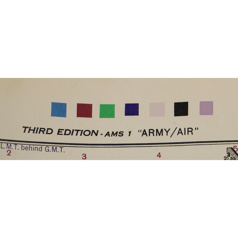
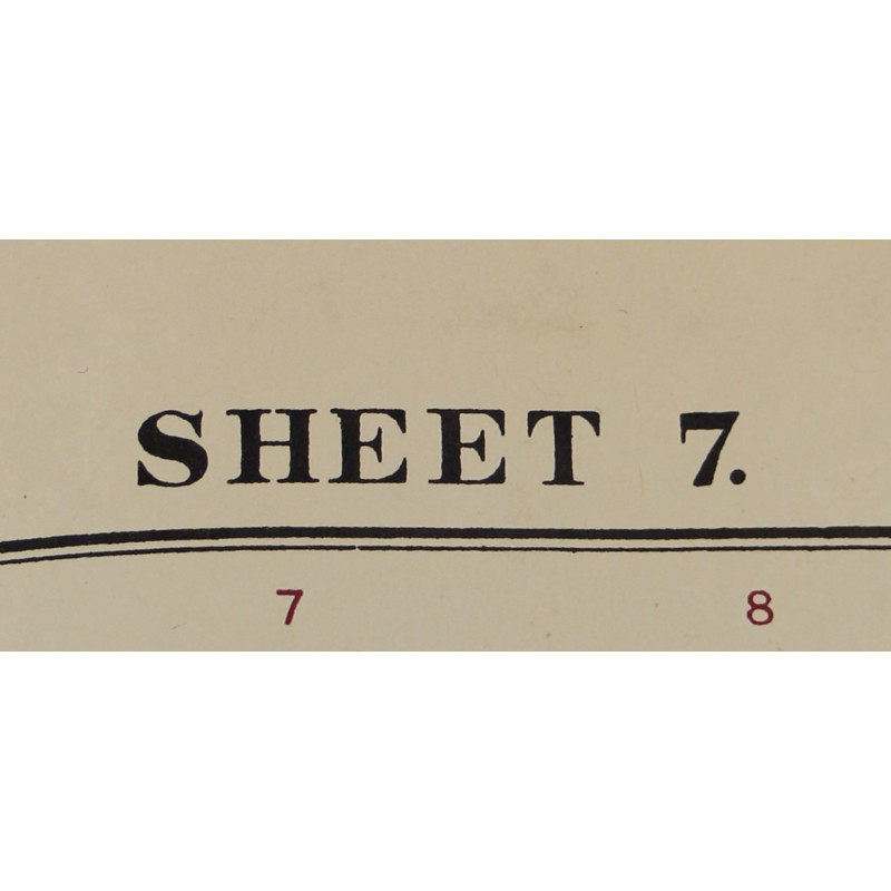
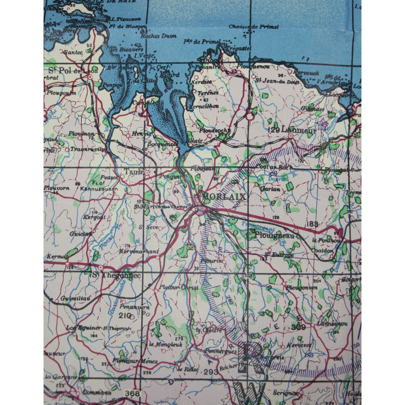
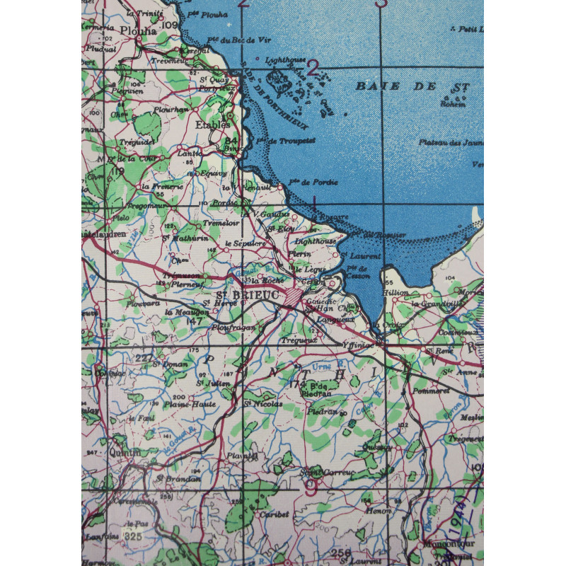
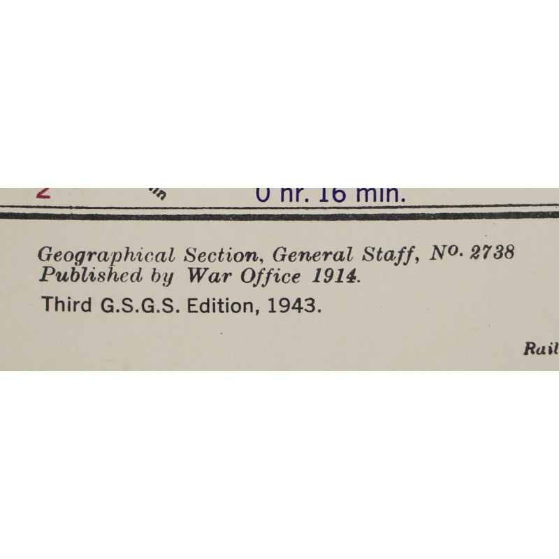
Genuine WWII British map, St. Brieuc, Third Edition, Sheet 7, scale 1:250,000.
Initially published by the War Office in 1914, this document was reedited by the Geographical Section, General Staff in 1943.
This map covers the coastline of Brittany from the Isle of Batz, Finistère département to Saint-Malo, Ille-et-Vilaine département, as well as the Isle of Jersey, Channel Islands.
Very good overall condition.
Dimensions: about 26in x 31.90in.
Product Details
You might also like




Please enter at least one character for your customization
Your customization has been saved