

Map, St. James, Normandy, 1944
€95.00
Tax included
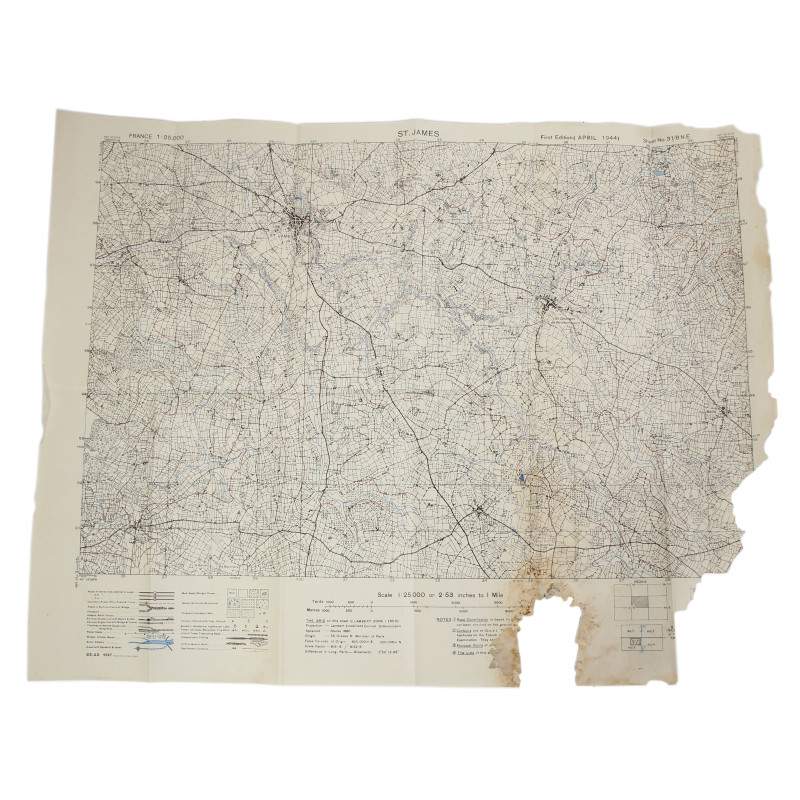
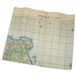
Rare genuine WWII Allied map, St. James, First Edition (April 1944), Sheet No. 31/8 N.E., scale 1:25,000.
Edited by the General Staff-Geographical Section of the British War Office, this map covers a large perimeter of Saint-James, which includes some places such as Saint-Georges-de-Reintembault, Coglès, Poilley -- a vast marshy area where the 8th and 79th Infantry Division sustained heavy casualties at the end of July 1944.
Good overall condition.
Dimensions: 20.4in x 26in.
Product Details
TM024


