


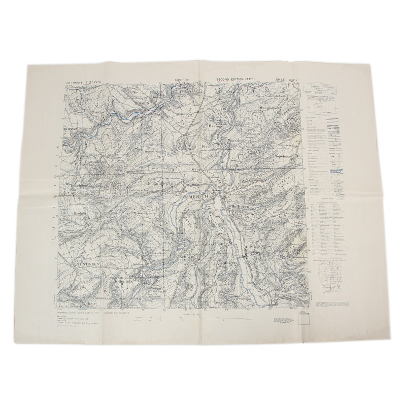
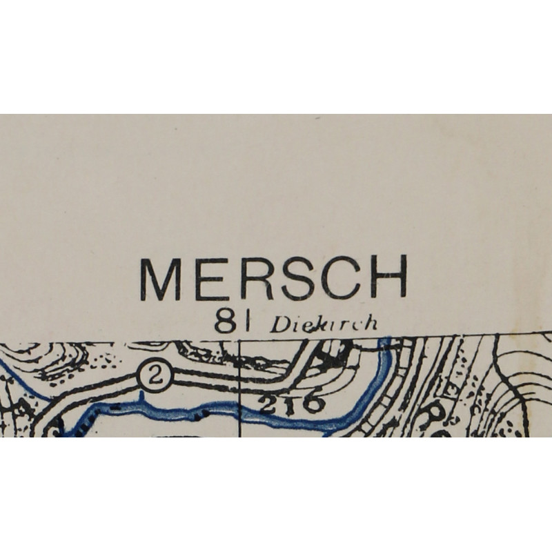
Map, Allied, MERSCH, Luxembourg, 1944
€25.00
Tax included
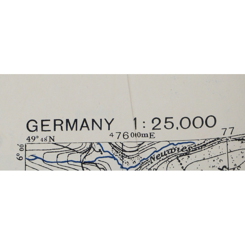
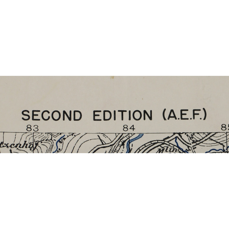
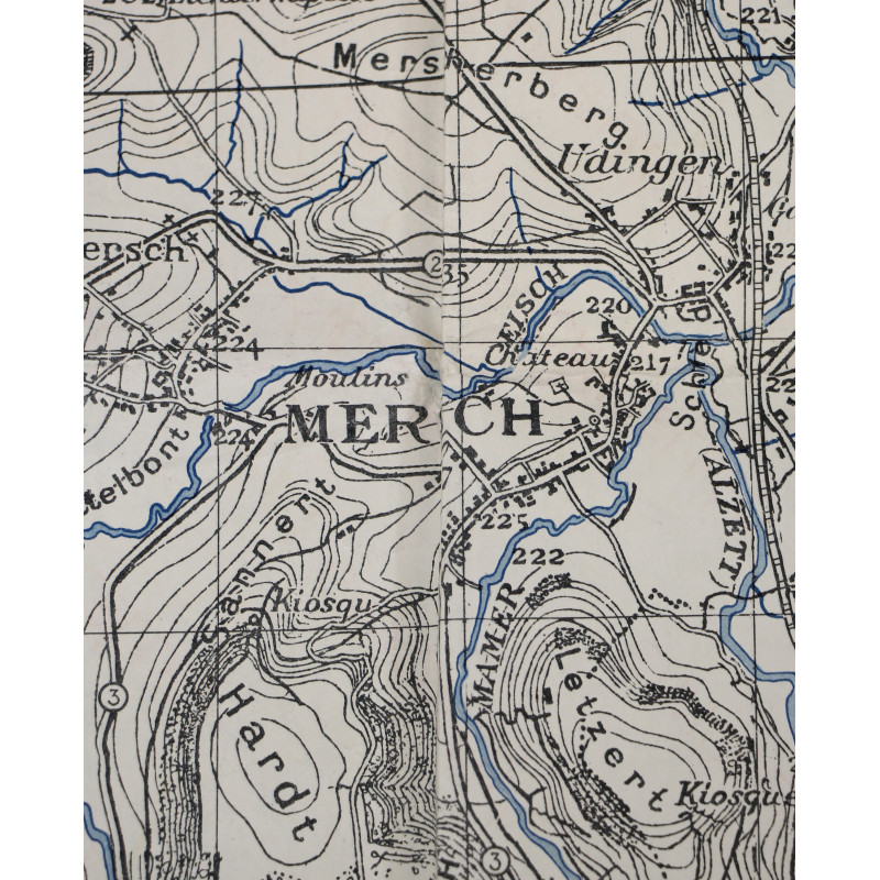
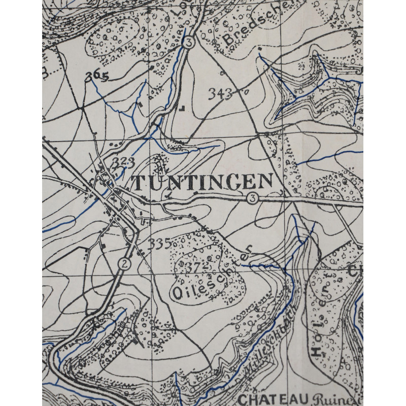
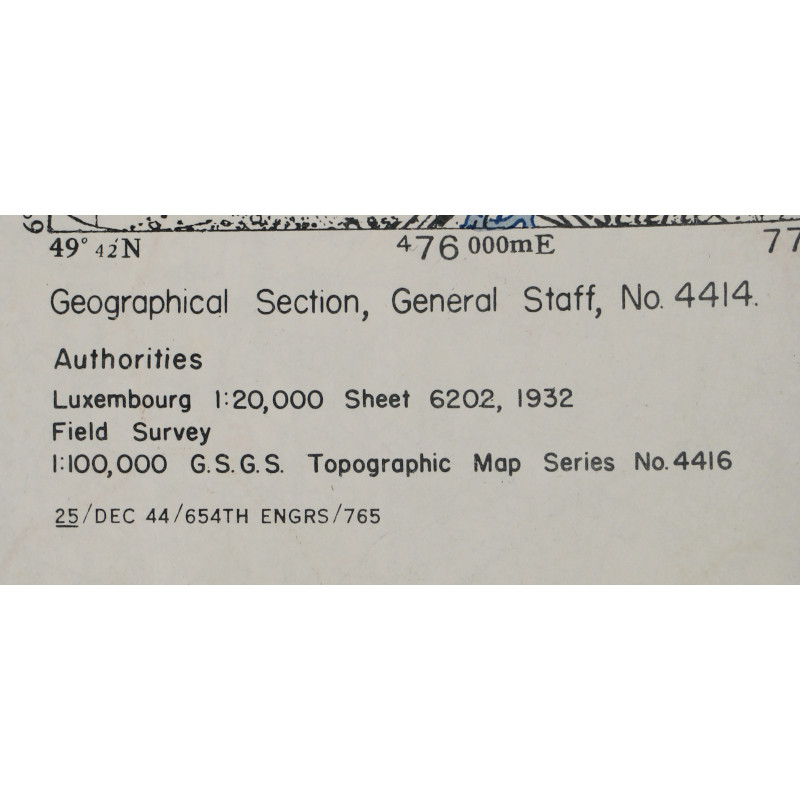
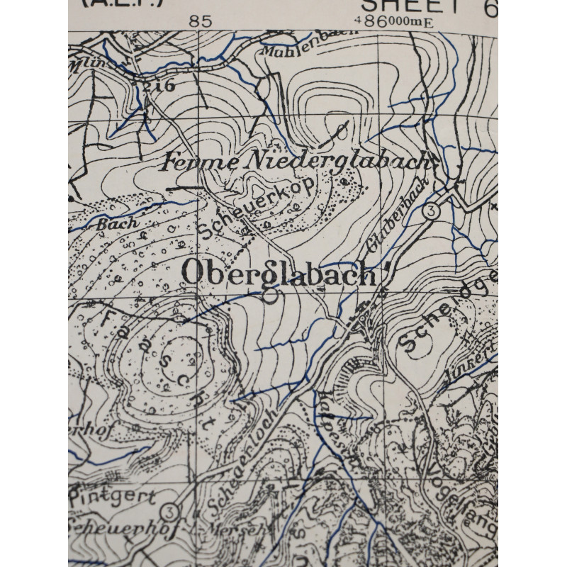
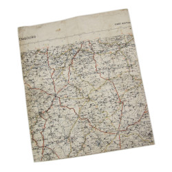
Genuine WWII Allied map, Mersch, Second Edition (A.E.F.), Sheet 6202, scale 1:25,000.
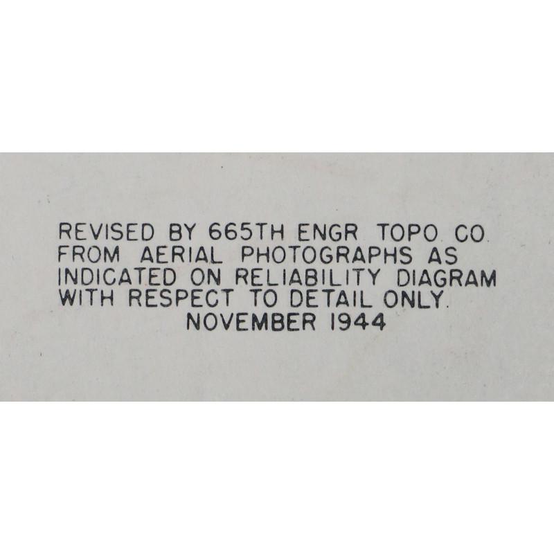
Published by the British Geographical Section, General Staff and edited by the US 654th Engineer Topographic Battalion in December 1944.
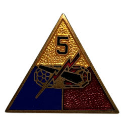
This map covers a large perimeter around the city of Mersch, Luxembourg, which was liberated by elements of the 5th Armored Division in September 1944.
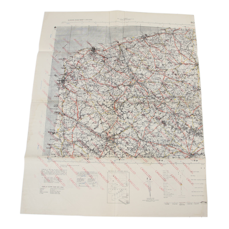
Dimensions: about 21.65in x 28.15in.
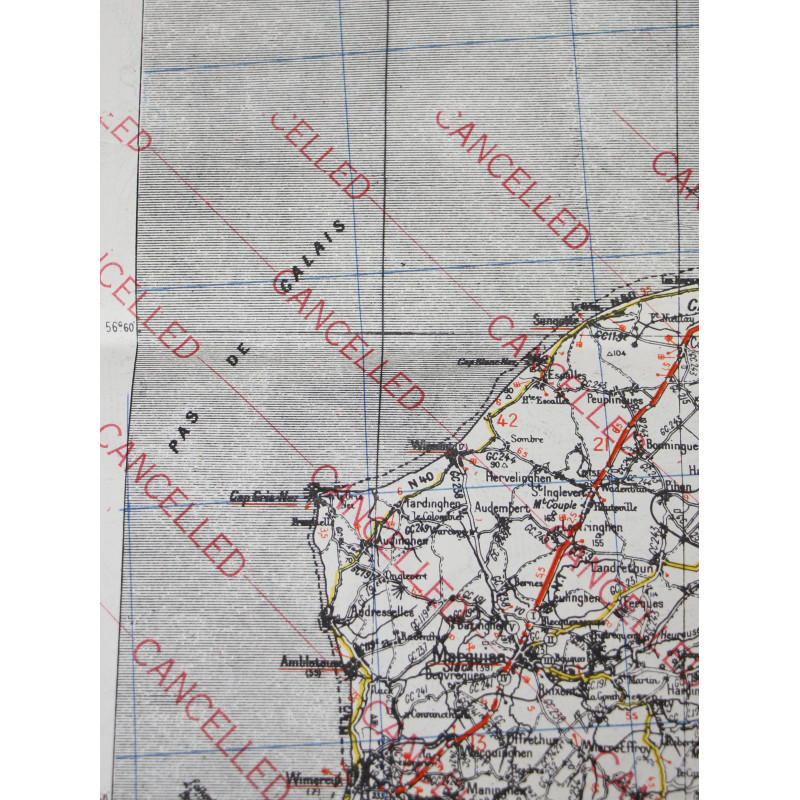
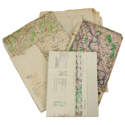
Very good overall condition; printed on the reverse of a fragment from a large map of Pas-de-Calais, dated 1941.
Product Details
You might also like



Please enter at least one character for your customization
Your customization has been saved