



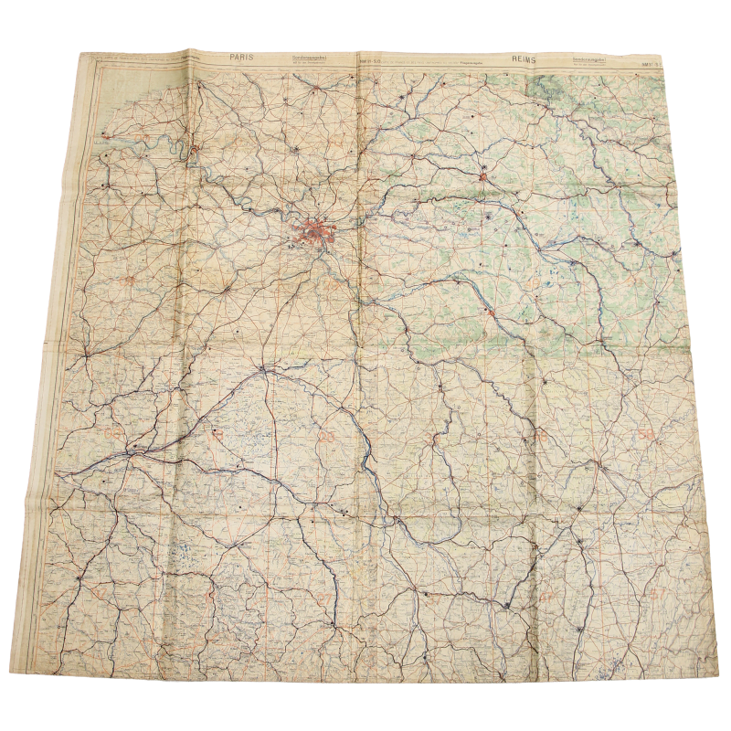
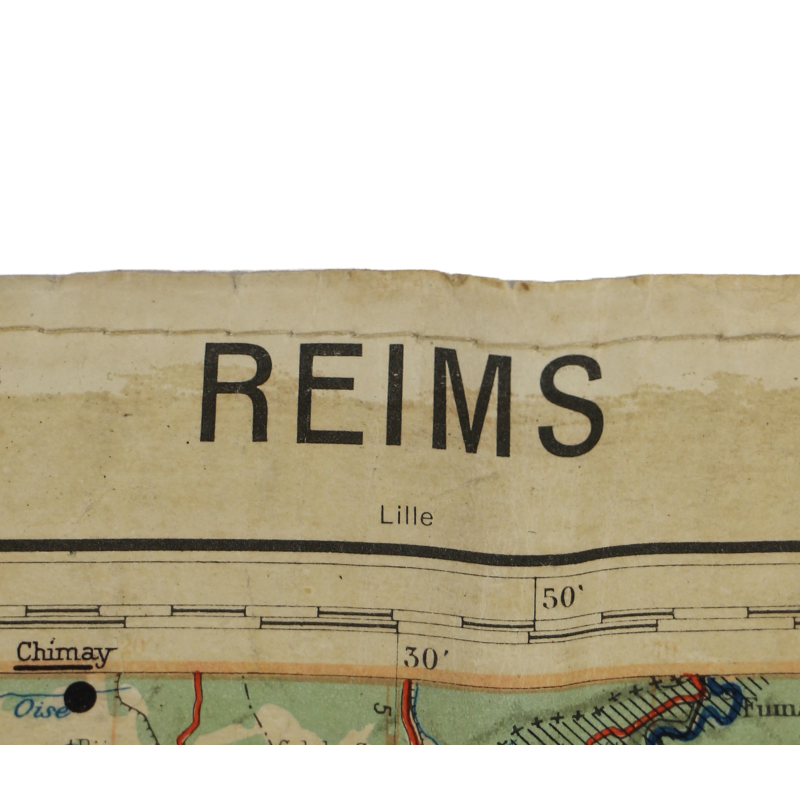
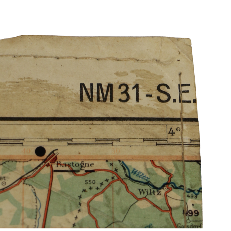
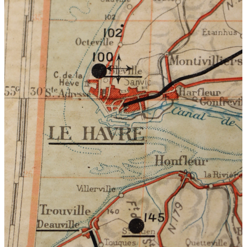
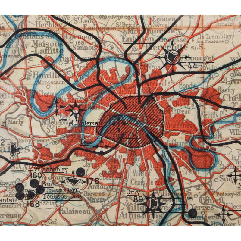
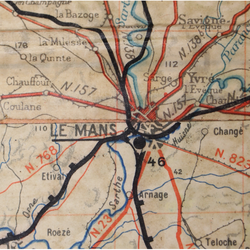
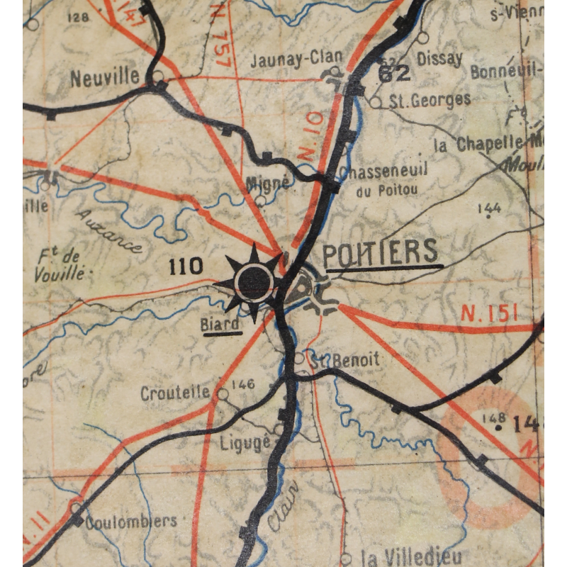
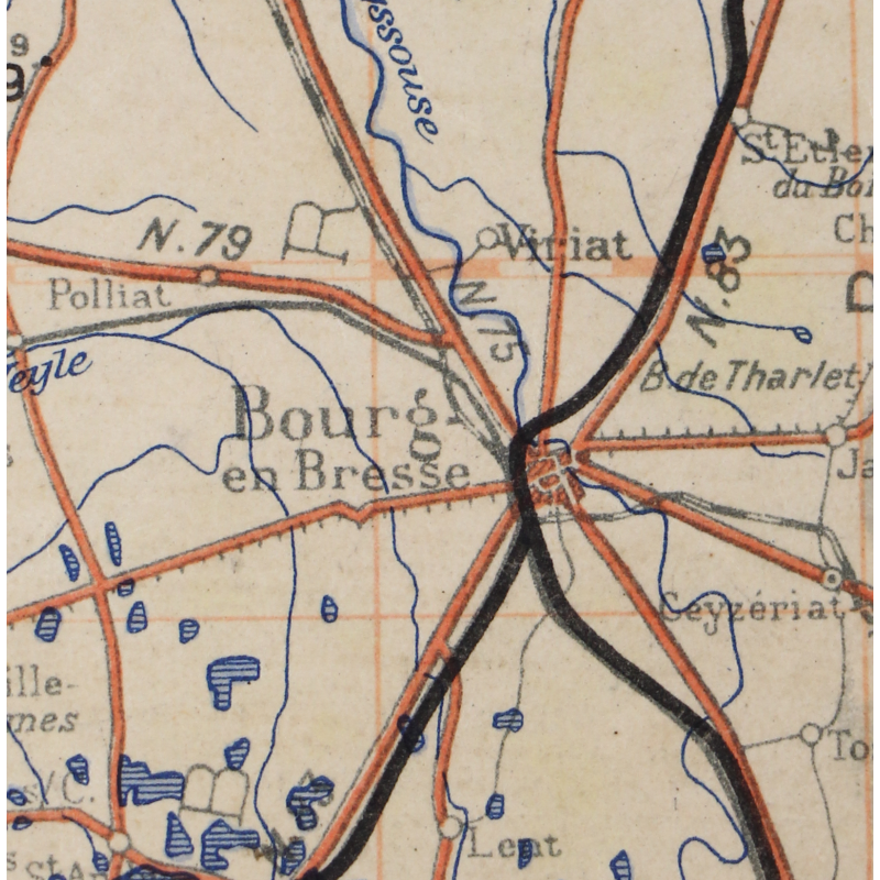
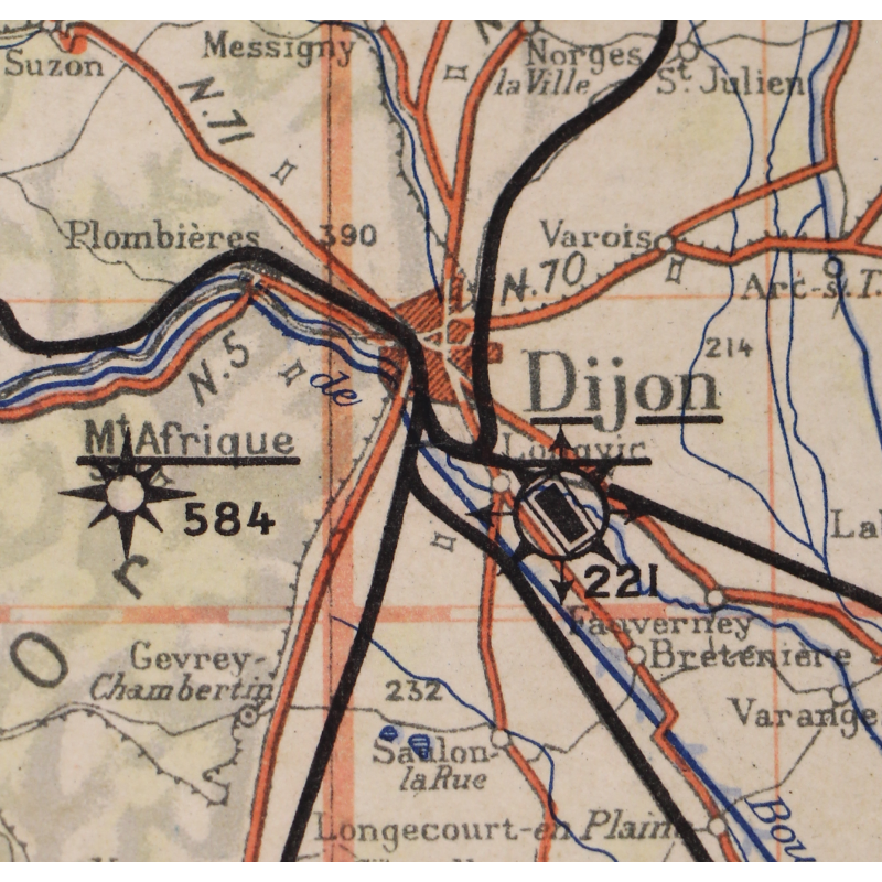
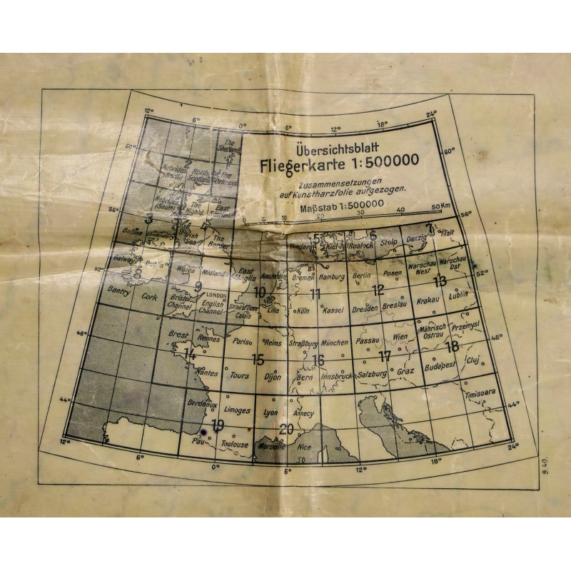
Chart, Navigation, Luftwaffe, PARIS-REIMS-TOURS-DIJON, 1:500,000, Laminated
€395.00
Tax included
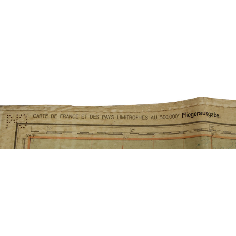
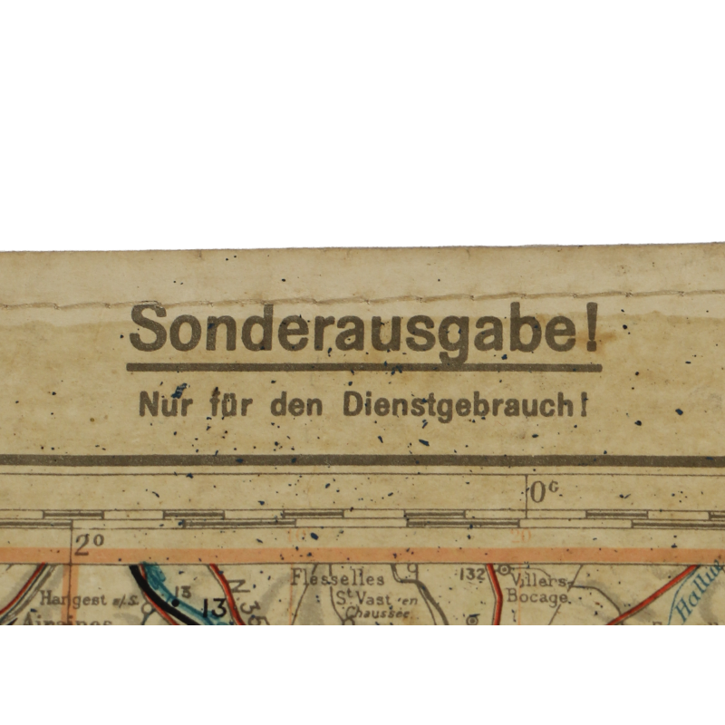
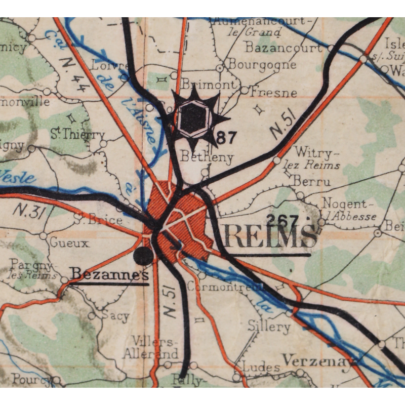
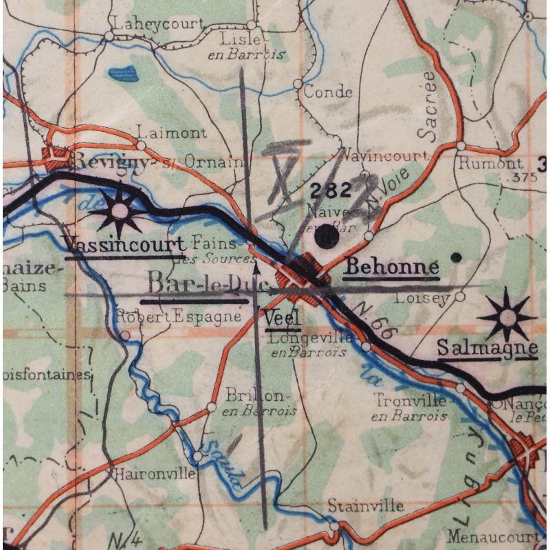
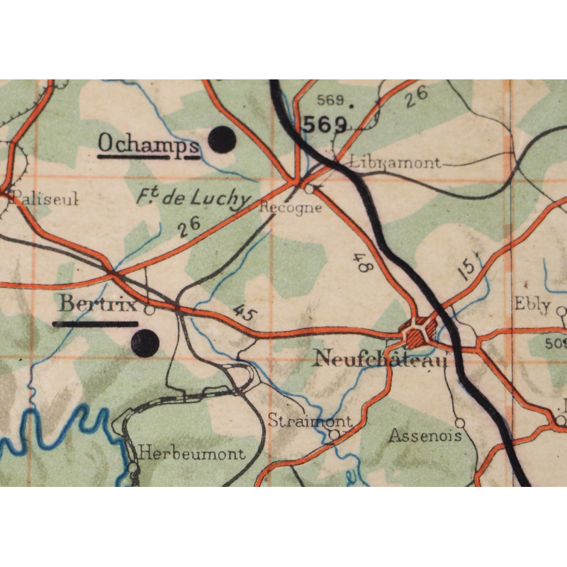
Rare genuine WWII German navigation chart, Fliegerausgabe, scale 1:500,000.
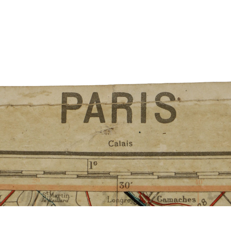
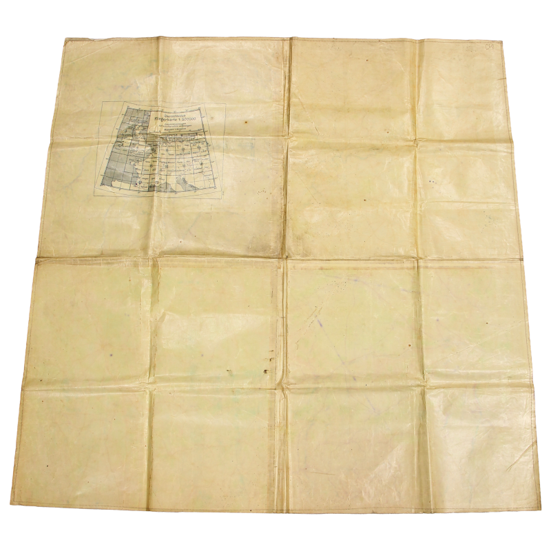
The present map is actually made up of four distinct charts, thus making a quadrangle which covers a large perimeter of the northern half of France: Paris, Reims, Tours and Dijon — see square #15 on the global map printed on the reverse.
Laminated version.
Good overall condition.
Dimensions: about 36.25in x 36.25in.
Description
Product Details
PB
You might also like


Please enter at least one character for your customization
Your customization has been saved