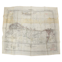
Map, Silk, Escape, MI 9, Southern France & Western Mediterranean
€225.00
Tax included
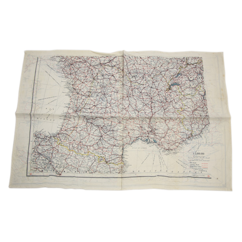
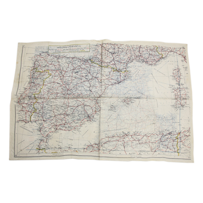
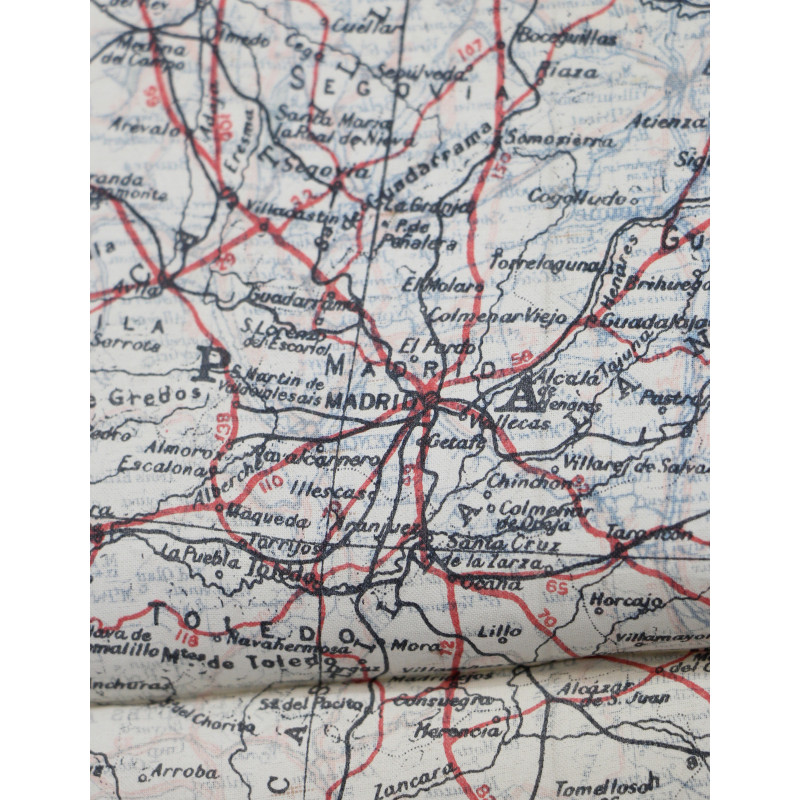
Rare genuine WWII British silk escape map, printed on both sides.
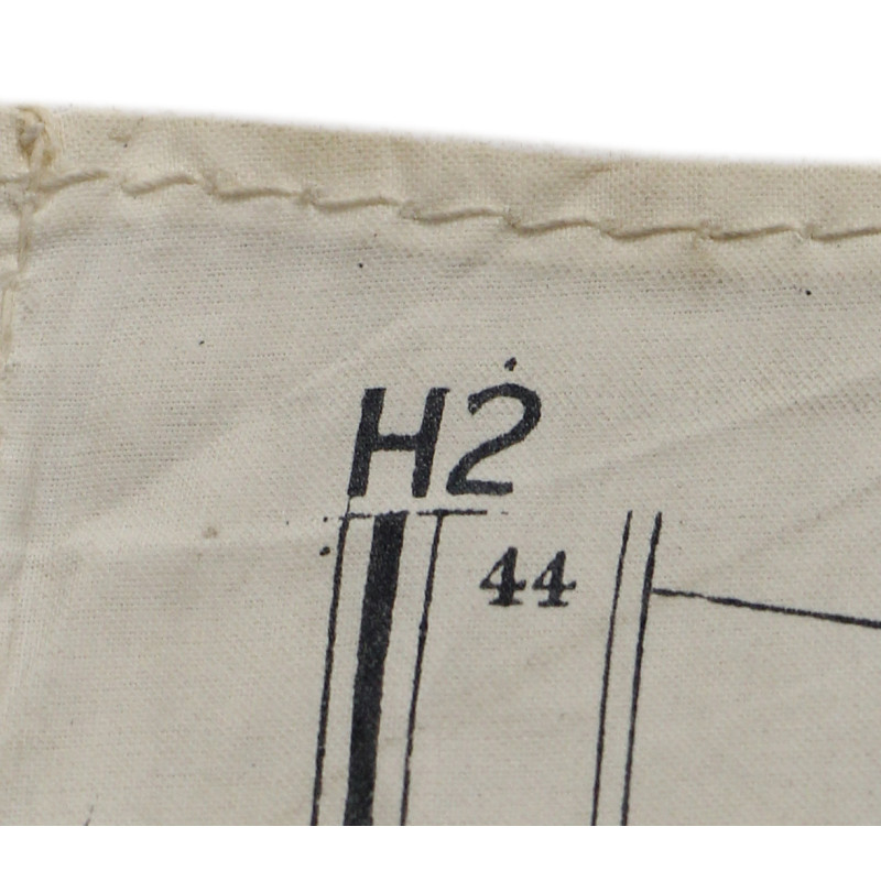
This is one of the earliest series of silk or rayon escape maps produced by Bartholomew of Edinburgh on behalf of the MI 9, heat-treated to prevent the cloth from unravelling, and intended for being issued to RAF and USAAF aicrews flying over enemy-occupied Europe.
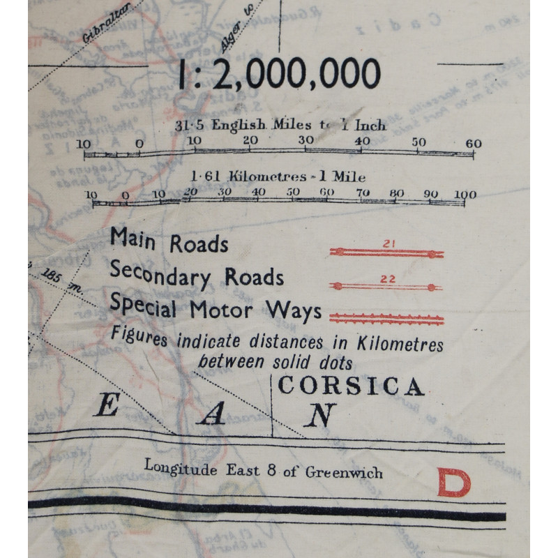
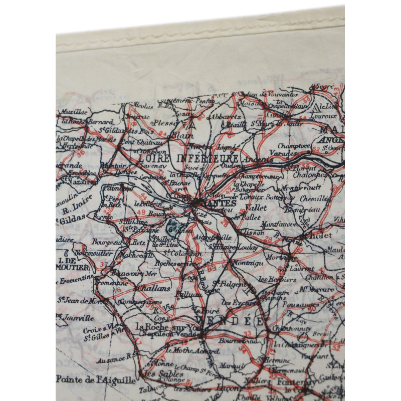
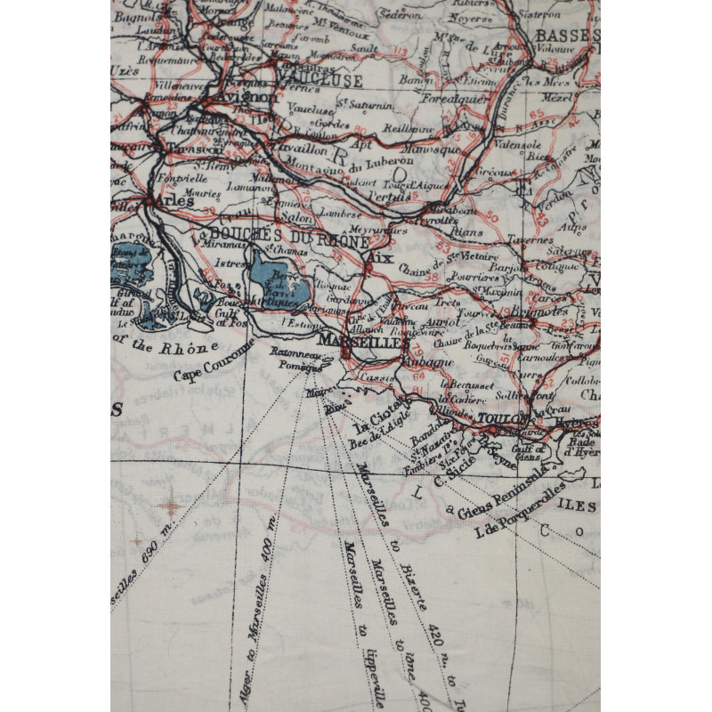
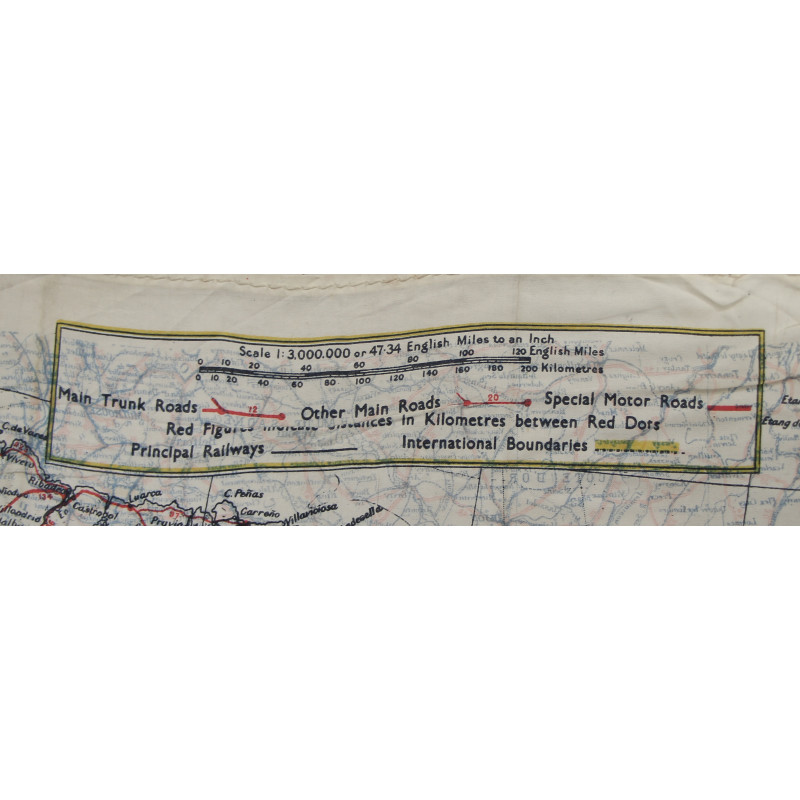
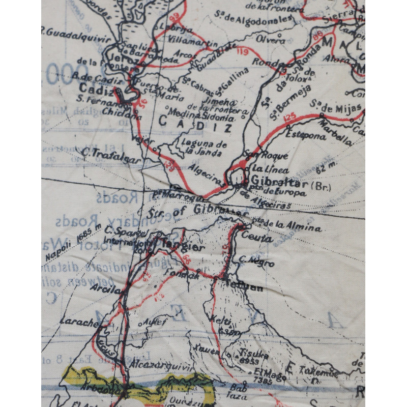
The first side covers the southern two thirds of mainland France and the border regions of Switzerland, Italy and Spain (scale 1:2,000,000), whereas the second side covers most of the western Mediterrean: southern France, Spain, Portugal, Corsica, Sardinia, the Balearic Islands and the northern coast of Morocco (scale 1:3,000,000).
Please enter at least one character for your customization
Your customization has been saved
check_circle
check_circle
The historical artifacts for sale at PARATROOPER’s are intended for collectors, history enthusiasts, historians and museum curators. These items do not glorify or promote any of the political, ideological or racial opinions related to the global conflicts that bathed the 20th century in blood.
Besides, we remind you that Article R.645-1 of the French Penal Code establishes fines applicable to fifth class contraventions (except in the specific cases of a filming, show or exhibition which refer to historical events) for any individual who wears a uniform, insignia or symbol reminiscent of those worn by members of the various organizations declared criminal in application of Article 9 of the Charter of the International Military Tribunal annexed to the London Agreement of August 8, 1945 – SS, SD, Gestapo, Nazi leaders (the Führer, the Reichsleitung, the Gauleiters and their main collaborators, the Ortsgruppenleiter, the Zellenleiter and the Blockleiter), or reminiscent of those worn by any person found guilty, by a French or International Jurisdiction, of one or several crimes against humanity established by Articles 211-1 to 212-3 or mentioned in Law No. 64-1326 of December 26, 1964.
The Code provides additional penalties, including the confiscation of the items used or intended for committing the offence.