



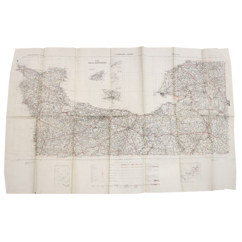
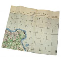
Map, British, CHERBOURG-ROUEN, Normandy, 1941
€275.00
Tax included
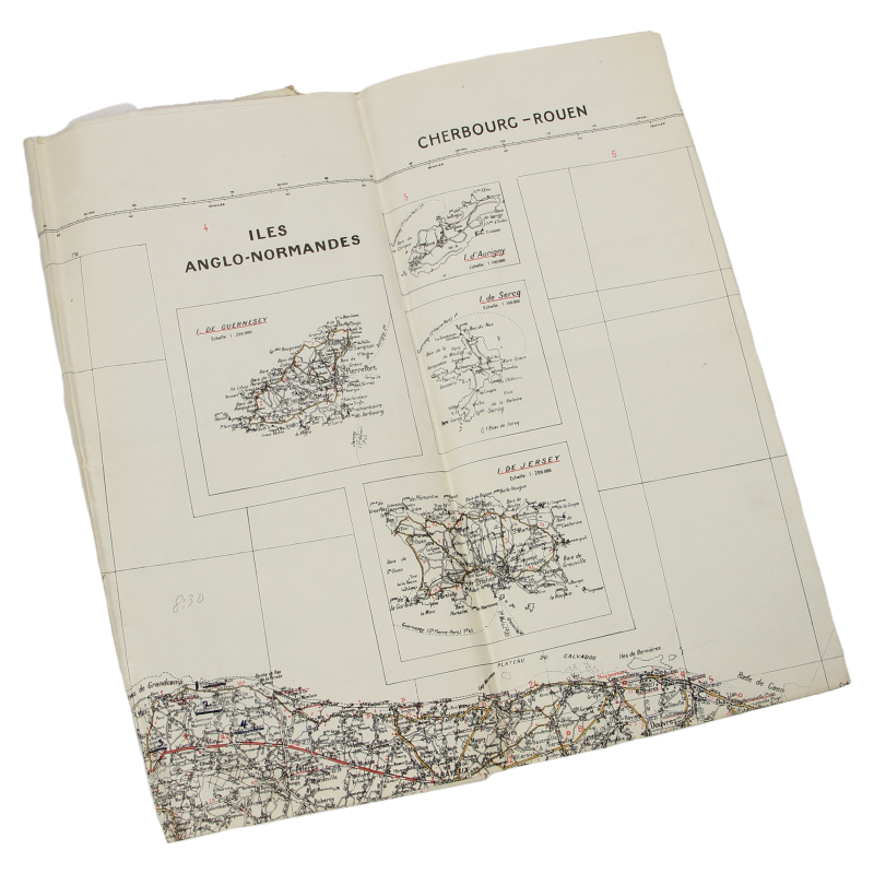
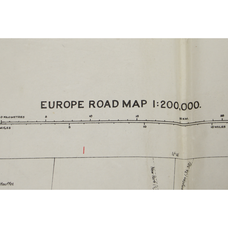
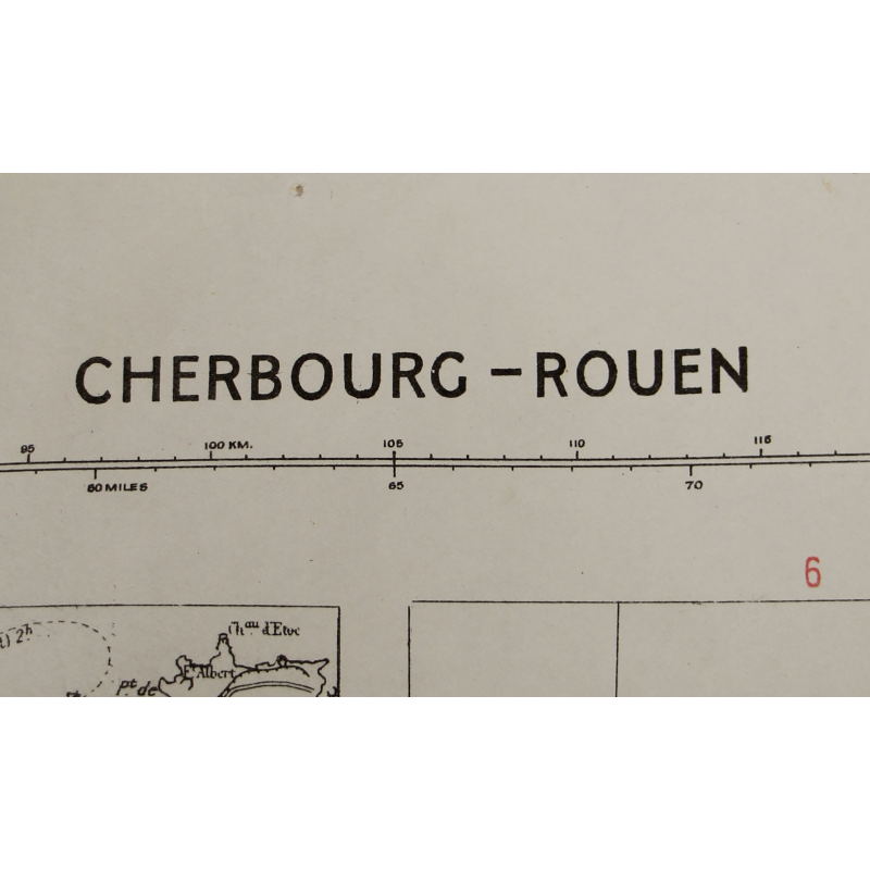
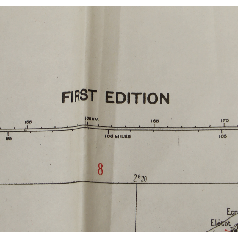
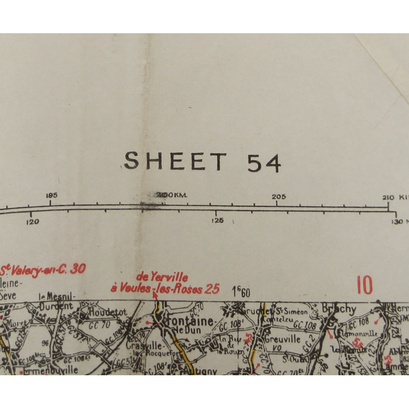
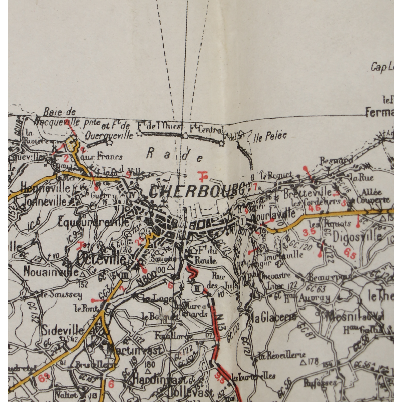
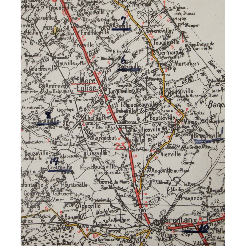
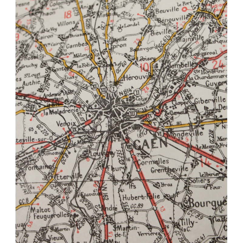
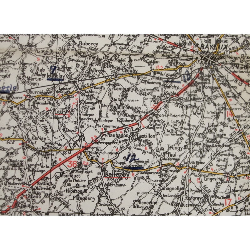
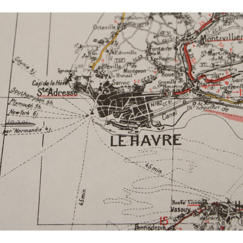
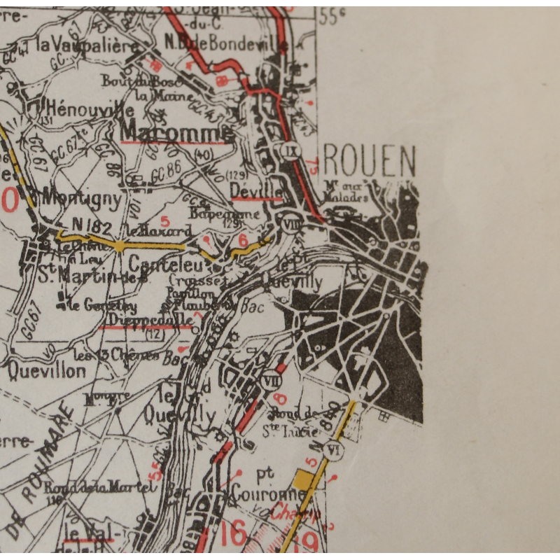
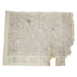
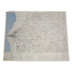
Rare genuine WWII British map, Cherbourg-Rouen, First Edition, Sheet 54, scale 1:200,000.
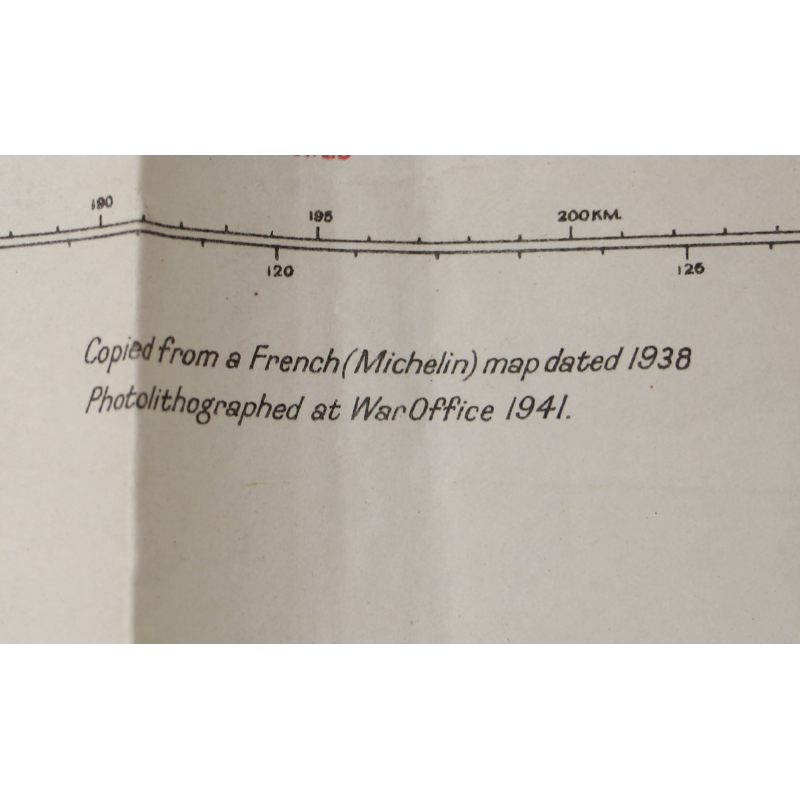
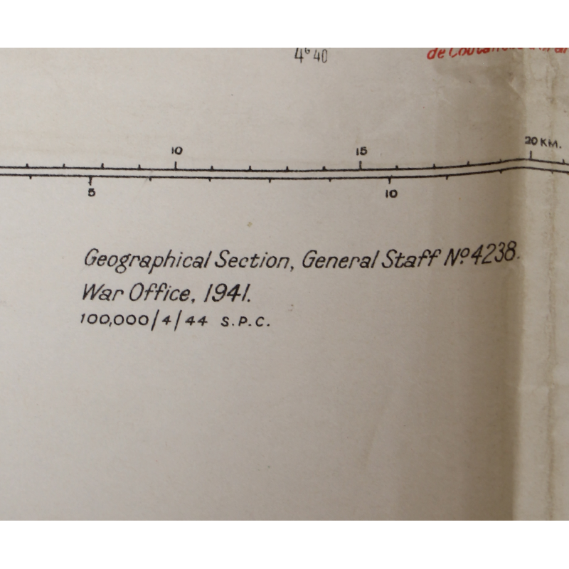
Edited by the Geographical Section, General Staff of the War Office in 1941; based on a French Michelin map of 1938.
This road map, which roughly encompasses the northern half of mainland Normandy with the Channel Islands, includes all future DZs, LZs, and landing beaches of Operation Neptune.
Complete and in good overall condition.
Dimensions: 27.90in x 44.40in.
Product Details
376876102108
You might also like
Please enter at least one character for your customization
Your customization has been saved