



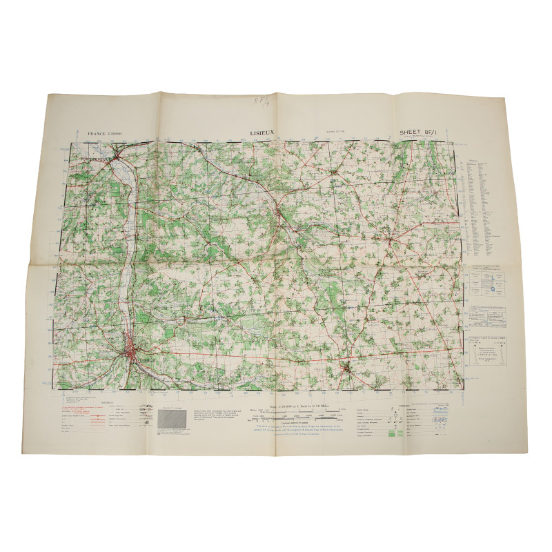
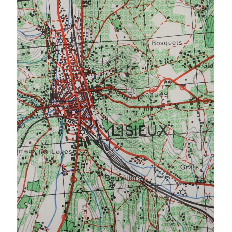
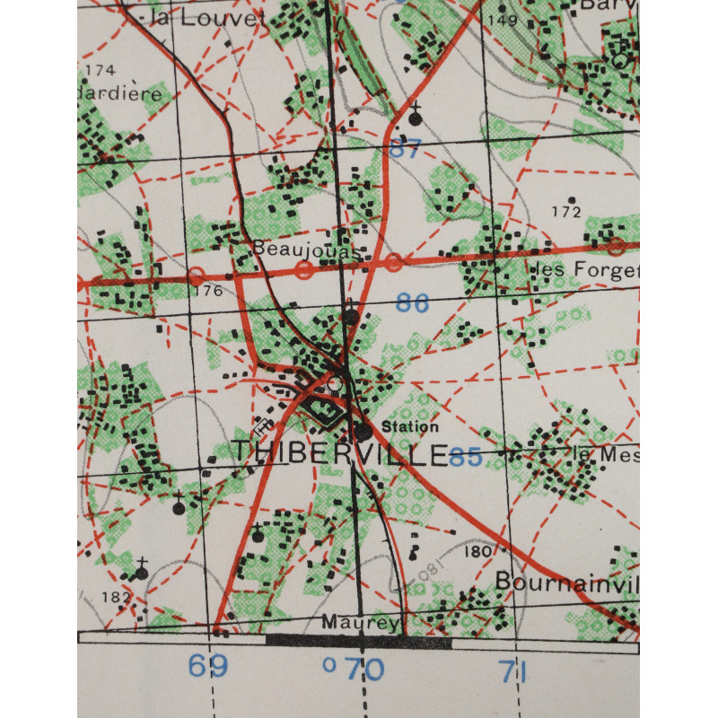
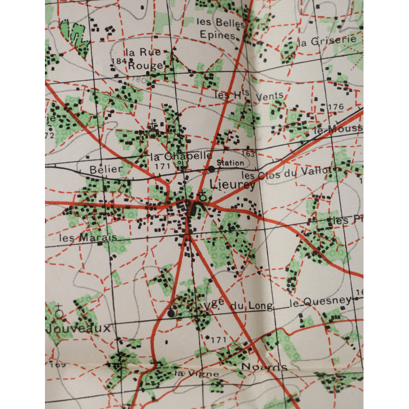
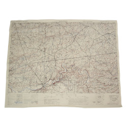
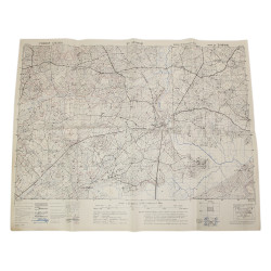
Map, British, LISIEUX, Normandy, 1943
€45.00
Tax included
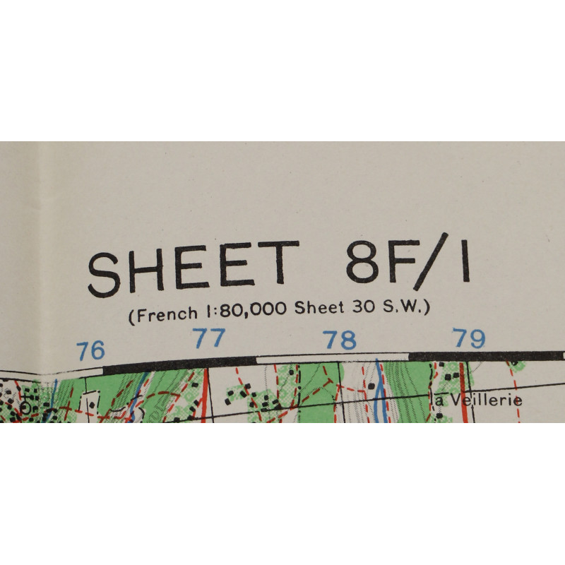
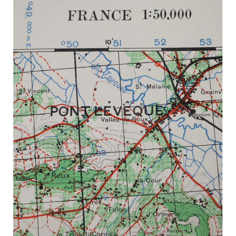
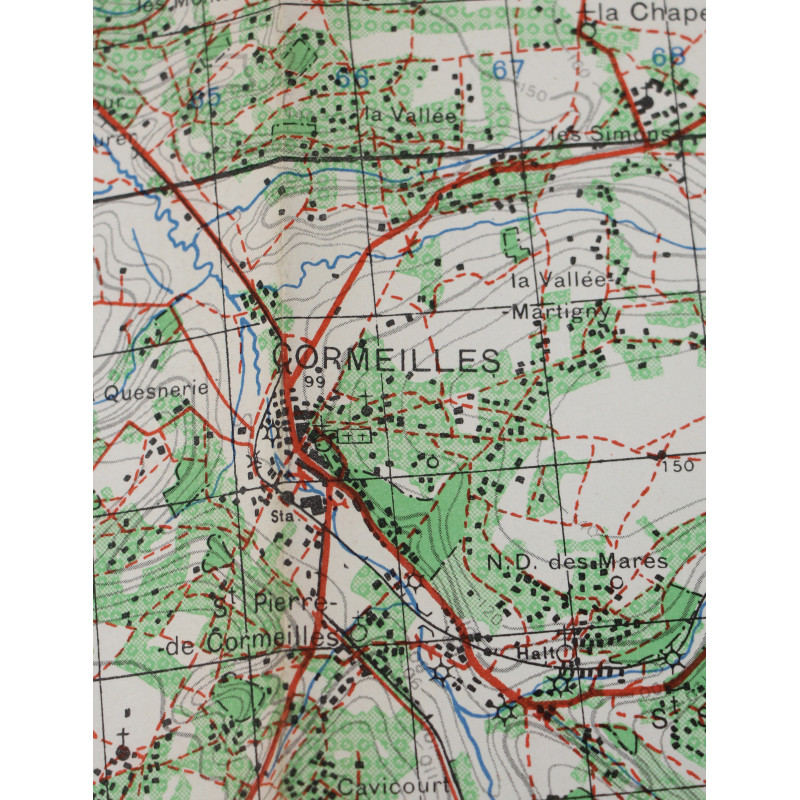
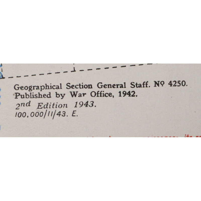
Genuine WWII British map, Lisieux, Second Edition, Sheet 8F/I, scale 1:50,000.
Edited by the General Staff-Geographical Section of the War Office in 1942, second edition in 1943.
This map covers a large area east of a section of the Touques River located between the cities of Pont-l'Evêque and Livarot, Normandy, France, which were liberated by the British forces in late August 1944.
Good overall condition.
Dimensions: 23in x 30.90in.
Product Details
JPG
You might also like
Please enter at least one character for your customization
Your customization has been saved