



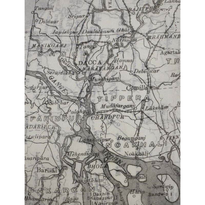
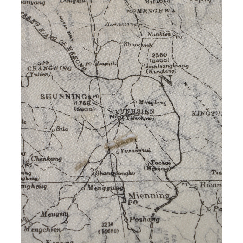
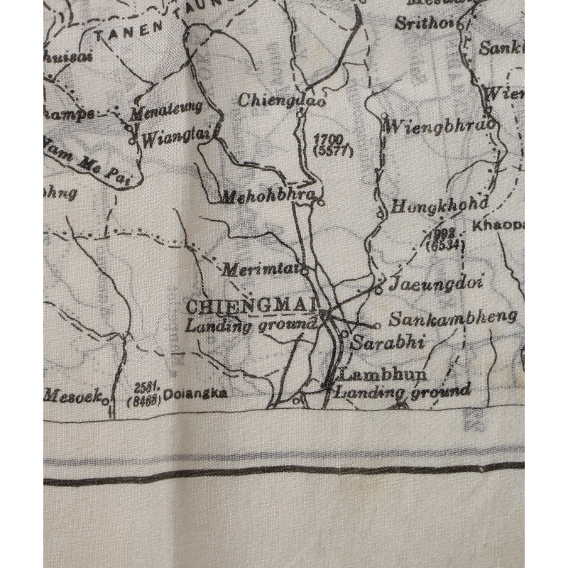
Map, Escape, Silk, MI 9, LOWER BURMA AND SIAM
€375.00
Tax included
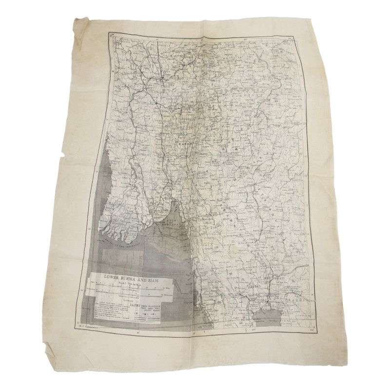
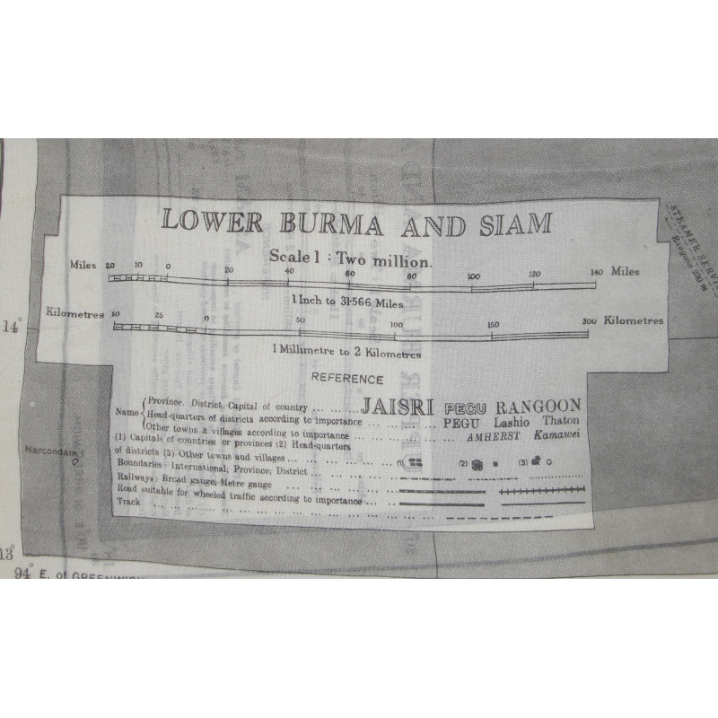
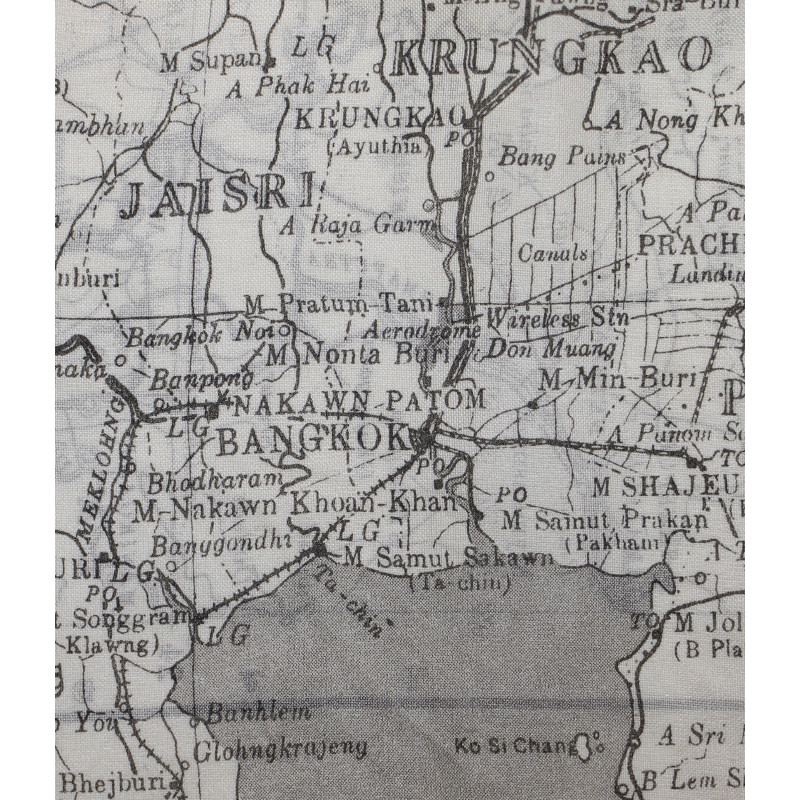
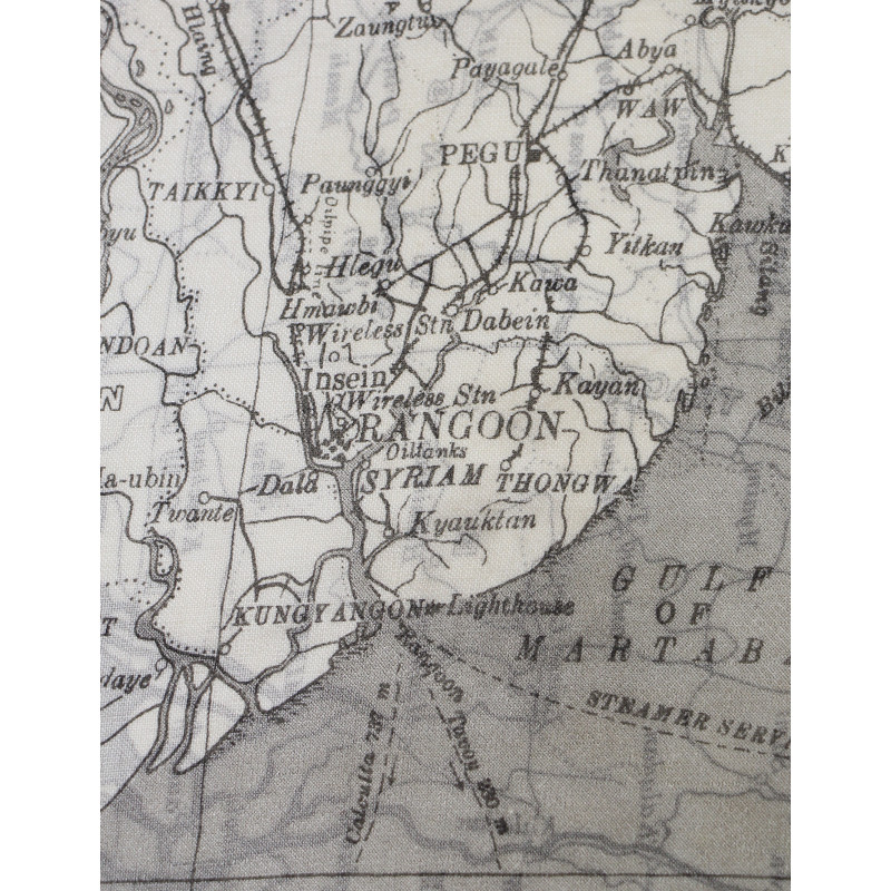
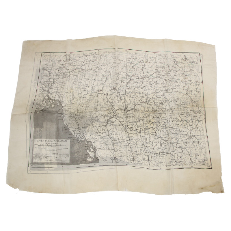
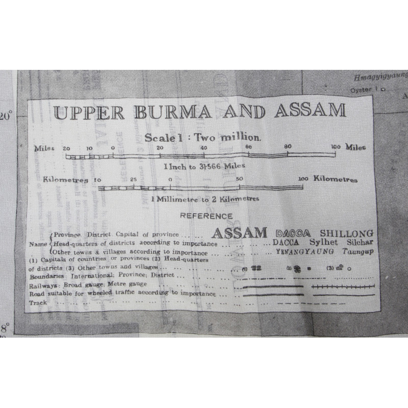
Rare genuine WWII British silk escape map, printed on both sides: Lower Burma and Siam and Upper Burma and Assam.
Scale: 1:2,000,000.
This is one of the earliest series of silk or rayon escape maps produced by Bartholomew of Edinburgh on behalf of the MI 9, heat-treated to prevent the cloth from unravelling, and intended for being issued to RAF and USAAF aicrews flying of enemy-occupied territories.
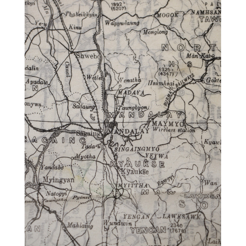
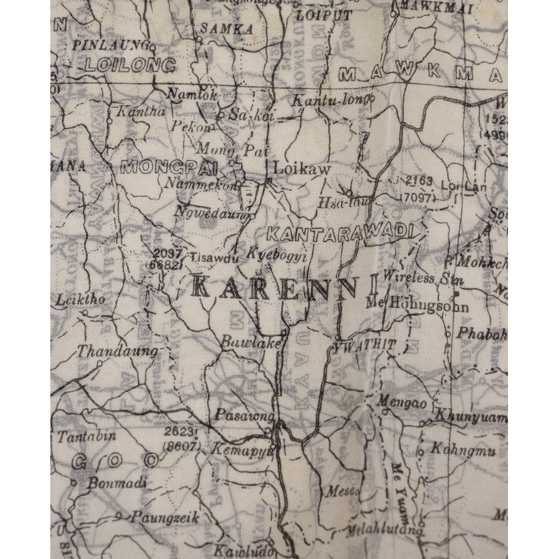
The first side covers a part of southern Burma and the border regions of Siam (present-day Thailand); the second side covers a part of northern Burma and the border regions of Assam (present-day Bangladesh and India).
Very good overall condition.
Dimensions: 21.25in x 27.55in.
Product Details
Wa0526
You might also like
Please enter at least one character for your customization
Your customization has been saved