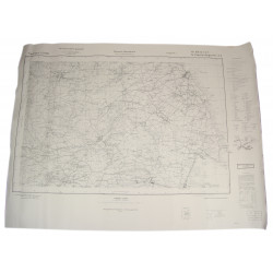
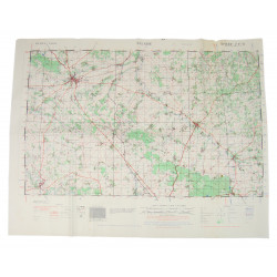
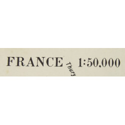
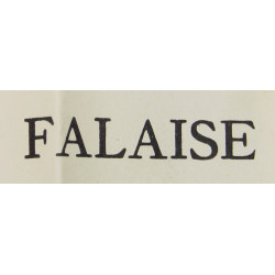
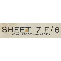
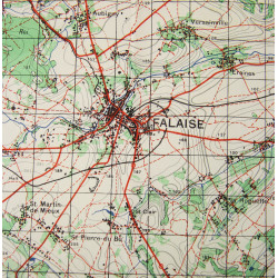
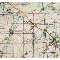
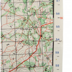
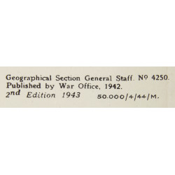
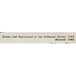
Genuine WWII British map of Normandy, Falaise, Sheet 7F/6, scale 1:50,000. The present map covers the Falaise-Trun-Chambois area. Edited by the War Office in 1943. Second edition.
Very good overall condition. Dimensions: 21.5in x 27.6in.
The present artifact comes from a significant collection built up by a Norman collector in the last thirty years.
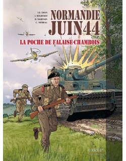
You might also like
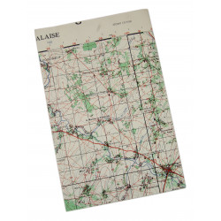
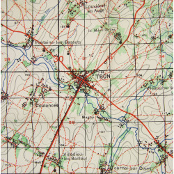
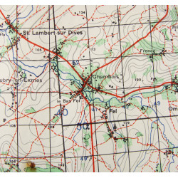
Genuine WWII British map of Normandy, Falaise, Sheet 7F/6, scale 1:50,000. The present map covers the Falaise-Trun-Chambois area. Edited by the War Office in 1943. Second edition.
Very good overall condition. Dimensions: 21.5in x 27.6in.
The present artifact comes from a significant collection built up by a Norman collector in the last thirty years.