



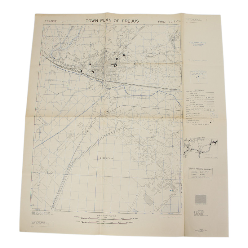
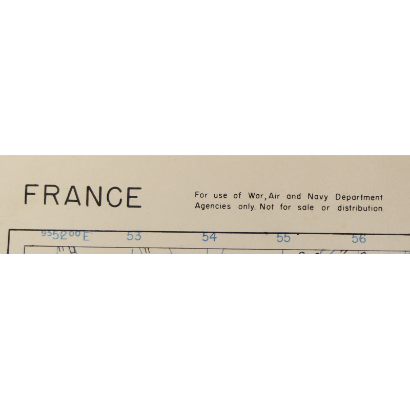
Map, Allied, TOWN PLAN OF FREJUS, France, Operation Dragoon, 1944
€225.00
Tax included
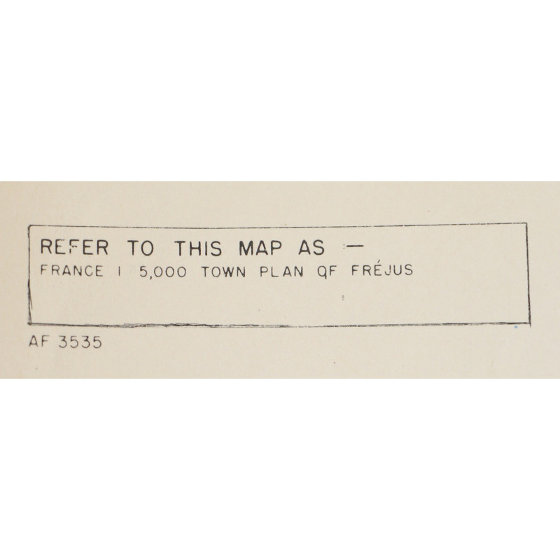
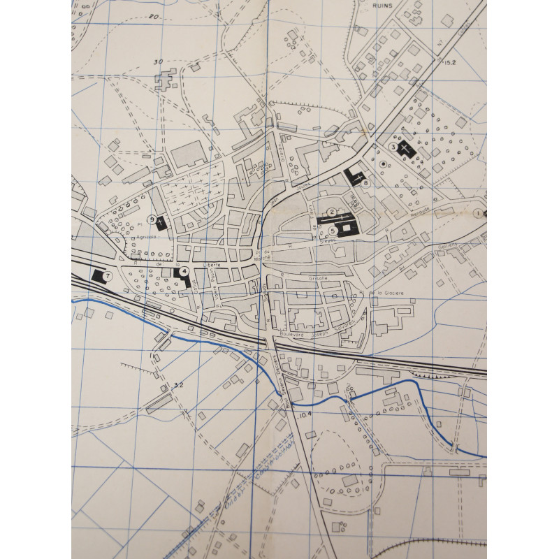
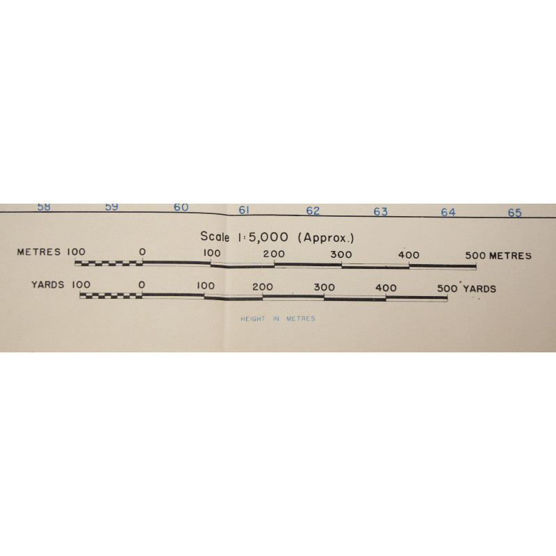
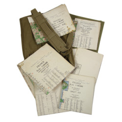
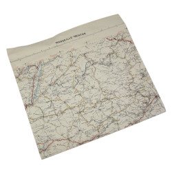
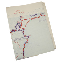
Genuine WWII Allied map, Town Plan of Fréjus, scale 1:5,000.
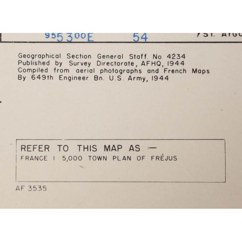
The present map of Féjus, Provence, France, was compiled from French maps and aerial reconnaissance photographs.
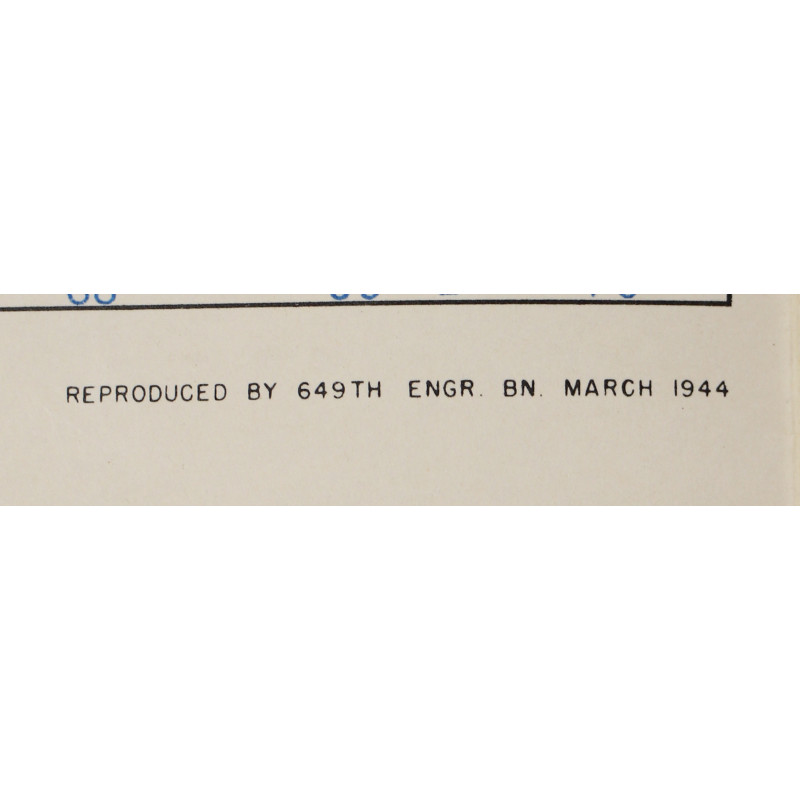
Edited by the Geographical Section-General Staff of the British War Office and reproduced by the 649th Engineer Battalion (US Army) in March 1944.
Very good overall condition.
Dimensions: 20in x 22.40in.
Product Details
ANC63112-Wa525
You might also like
Please enter at least one character for your customization
Your customization has been saved