


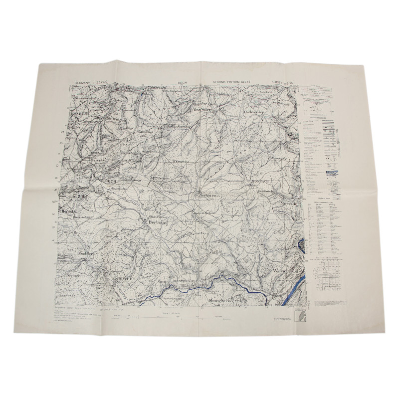
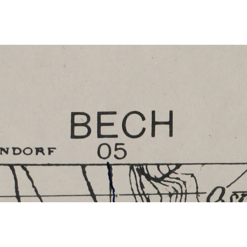
Map, Allied, BECH, Luxembourg, 1944
€25.00
Tax included
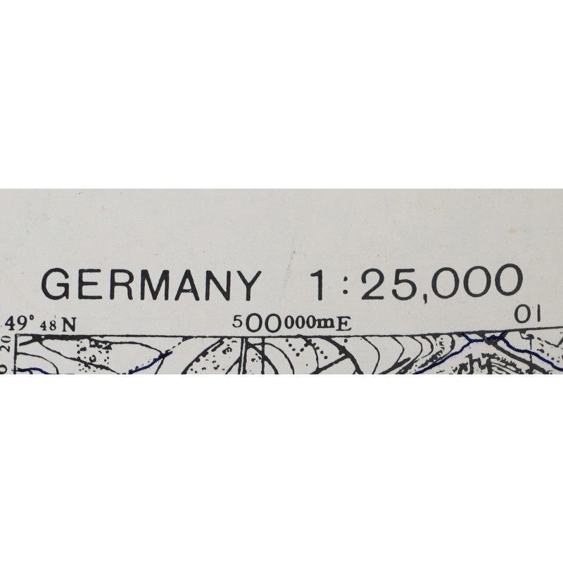
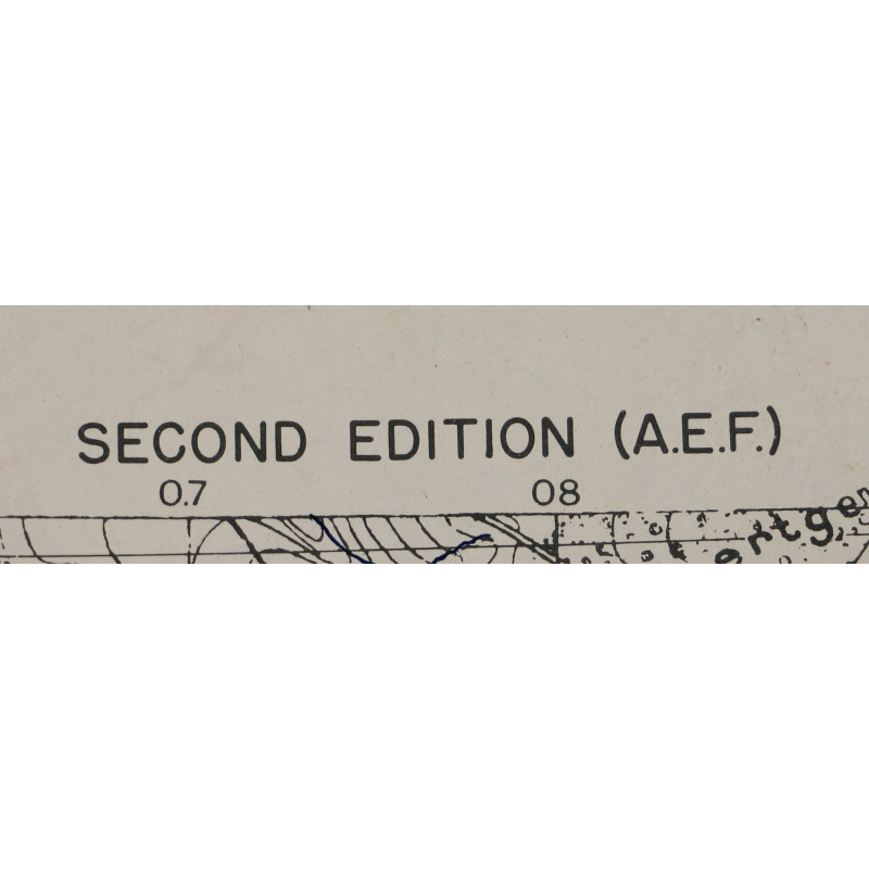
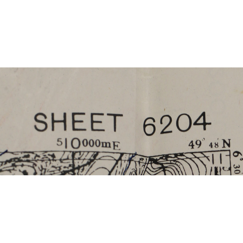
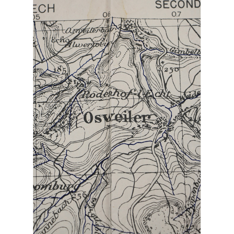
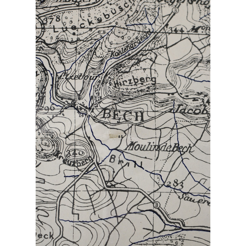
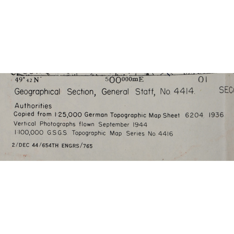
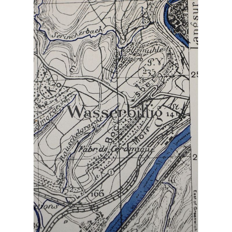
Genuine WWII Allied map, Bech, Second Edition (A.E.F.), Sheet 6204, scale 1:25,000.
Published by the British Geographical Section, General Staff and edited by the US 654th Engineer Topographic Battalion in December 1944.
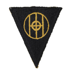
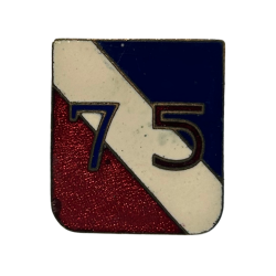
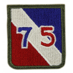
This map covers a large perimeter around the town of Bech, Luxembourg, which was first liberated by elements of the 83rd Infantry Division in September 1944 prior to being recaptured by the Germans and eventually secured by the 75th Infantry Division.
Dimensions: about 21.65in x 28.15in.
Very good overall condition; printed on the reverse of a fragment from a large map of the Lille-Brussels area dated 1942.
Product Details
You might also like


Please enter at least one character for your customization
Your customization has been saved