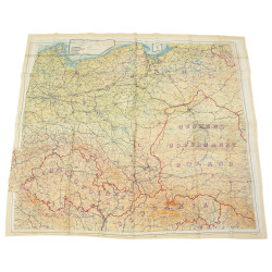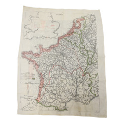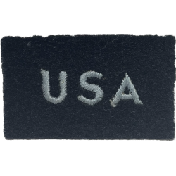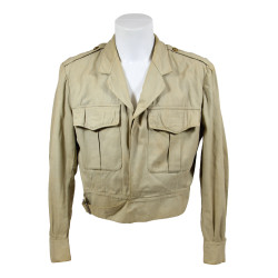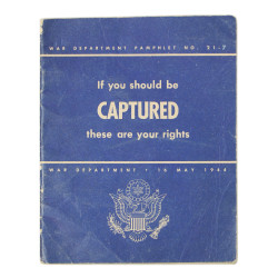


Map, Escape, Silk, A/B, France, 1943, RAF & USAAF
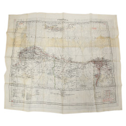
Rare genuine WWII British escape silk map of Northern France on one side (43/A), and Southern France on the other (43/B). Scale: 1:000,0000. The various insets show enlargements of the borders with Spain and Switzerland.
In 1943, a new series of ten silk maps in eight colors, printed on silk and covering most of Europe — apart from the British Isles and Scandinavia — was issued to RAF and USAAF aircrews. Designed by the MI9 and produced by John Waddington Ltd., they were 50 per cent larger than the famous Bartholomew maps, with the border regions detailed in separate, larger-scale boxes.
These ten maps were referenced by letters A to K preceded by mention 43, which corresponds to the year of publication. They are all 1:1000.000 scale (1 cm to 10 km) and double-sided printed sequentially: A/B, C/D, E/F, G/H and K(West)/K(East). Others were produced in smaller quantities: C/E, D/F and F/G.
Very good overall condition.
Dimensions: about 28.75in x 28.75in.
Product Details
You might also like