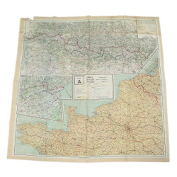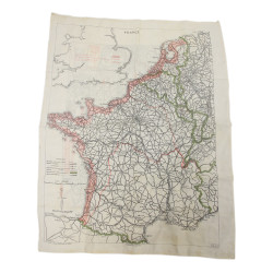



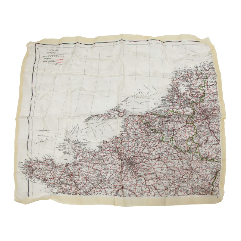


Map, Silk, Escape, MI 9, Northwestern Europe, Normandy
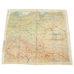
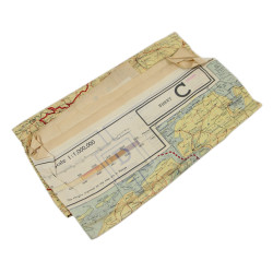
Rare genuine WWII British silk escape map, printed on one side only (scale 1:2,000,000).
This is one of the earliest series of silk or rayon escape maps produced by Bartholomew of Edinburgh on behalf of the MI 9, heat-treated to prevent the cloth from unravelling, and intended for being issued to RAF and USAAF aicrews flying of enemy-occupied Europe.
The present map covers the northern third of France, along with Belgium, the Nederlands and Luxembourg, as well as the western fringes of Germany and the south-eastern point of England.
Excellent overall condition.
Dimensions: about 17.35in x 19.30in.
Product Details
BO-PI26
You might also like