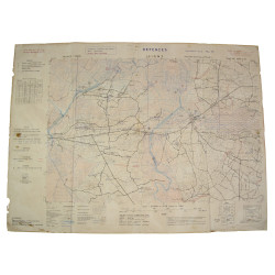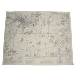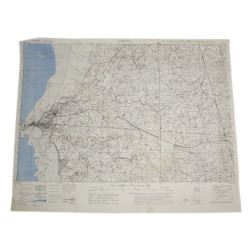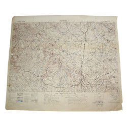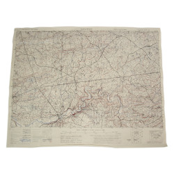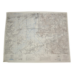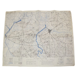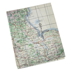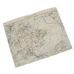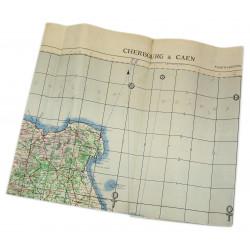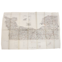


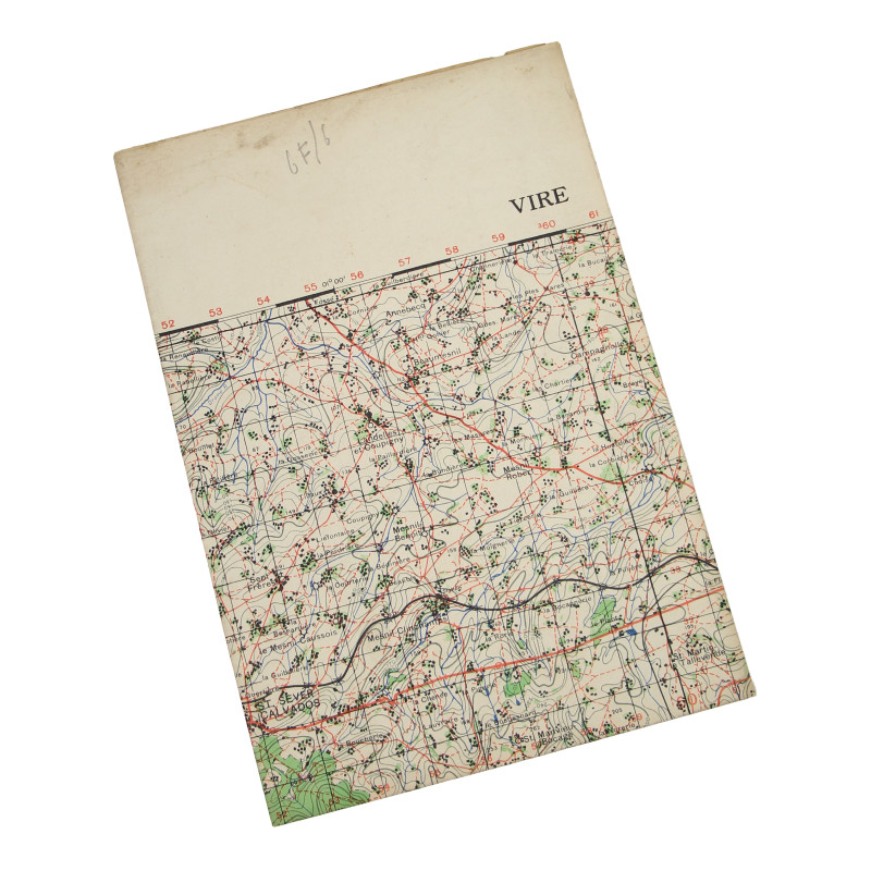
Map, British, VIRE, Normandy, 1943, 29th Infantry Division
search
Map, British, VIRE, Normandy, 1943, 29th Infantry Division

Map, British, VIRE, Normandy, 1943, 29th Infantry Division

€45.00 Tax included

Genuine WWII British map, Vire, Second Edition, Sheet 6F/6, scale 1:50,000.

Edited by the General Staff-Geographical Section of the War Office in 1942 and reedited in 1943.

The present map covers a large area around Vire, Normandy, France, which was liberated by elements of the 29th Infantry Division on August 8, 1944, following some heavy damage caused by air bombings.

Good overall condition.

Dimensions: 22in x 30in.

Product Details

JPG