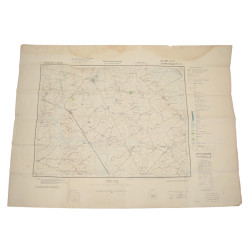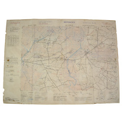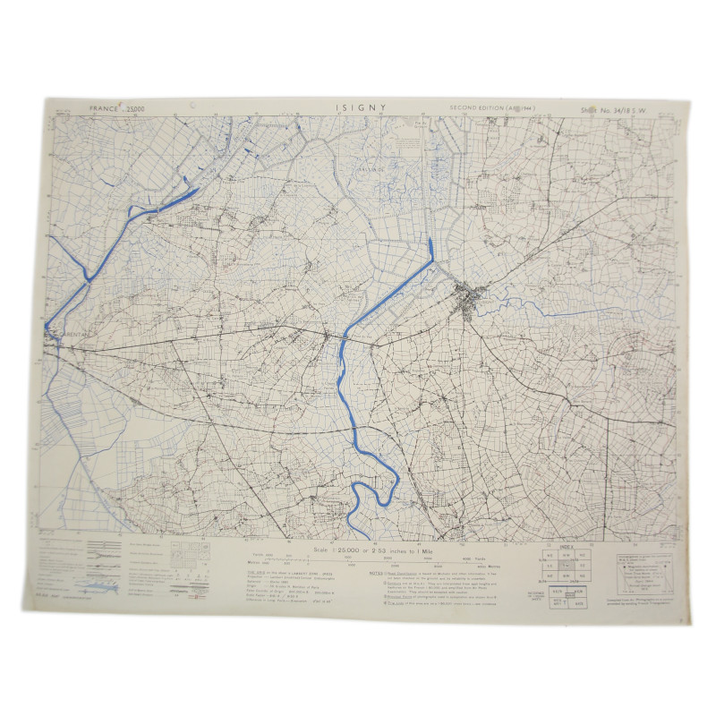
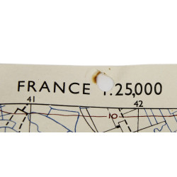
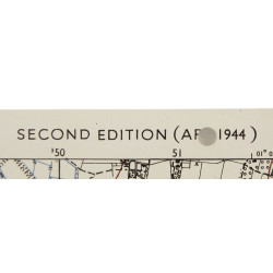
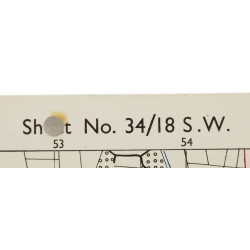
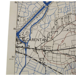
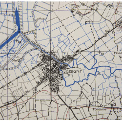
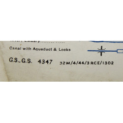
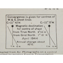
Rare genuine WWII Allied map, Isigny, Second Edition (Apr. 1944), Sheet 34/18 S.W., scale 1:25,000.
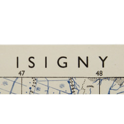
Edited by the General Staff-Geographical Section of the British War Office, this map covers a large perimeter which includes the towns of Brévands, Carentan (Est), Montmartin-en-Graignes and Isigny.
Good overall condition.
Dimensions: 19.5in x 24.4in.
You might also like
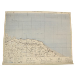
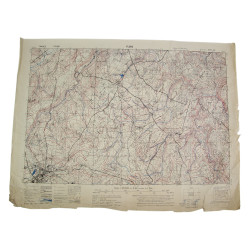
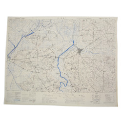
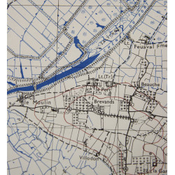
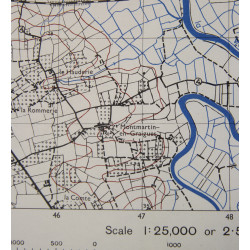
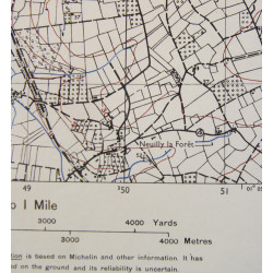
Rare genuine WWII Allied map, Isigny, Second Edition (Apr. 1944), Sheet 34/18 S.W., scale 1:25,000.
Edited by the General Staff-Geographical Section of the British War Office, this map covers a large perimeter which includes the towns of Brévands, Carentan (Est), Montmartin-en-Graignes and Isigny.
Good overall condition.
Dimensions: 19.5in x 24.4in.