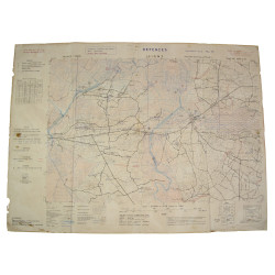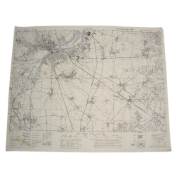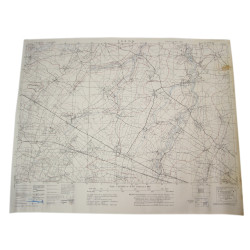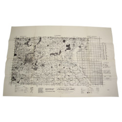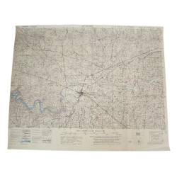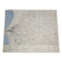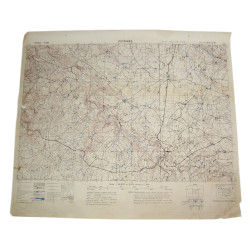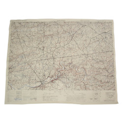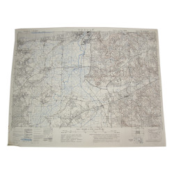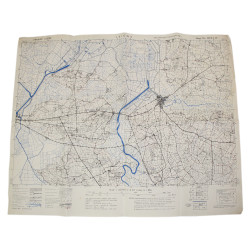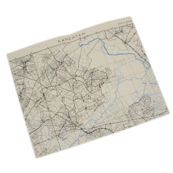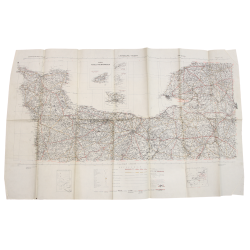


Map, British, ROUEN-PARIS, 1943
€75.00
Tax included
Genuine WWII British map, Rouen-Paris, Second Edition, Sheet No. 7, scale 1:520,000.
Edited by the General Staff-Geographical Section of the War Office in 1943.
This map actually covers a large perimeter bounded by the mouth of the Seine (in the northwest corner), the area of Beauvais (northeast corner), the vicinity of Mortagne-au-Perche (southwest corner), and the region located south of Paris (southeast corner).
Good overall condition.
Dimensions: about 25.40in x 30.10in.
Product Details
DA
You might also like