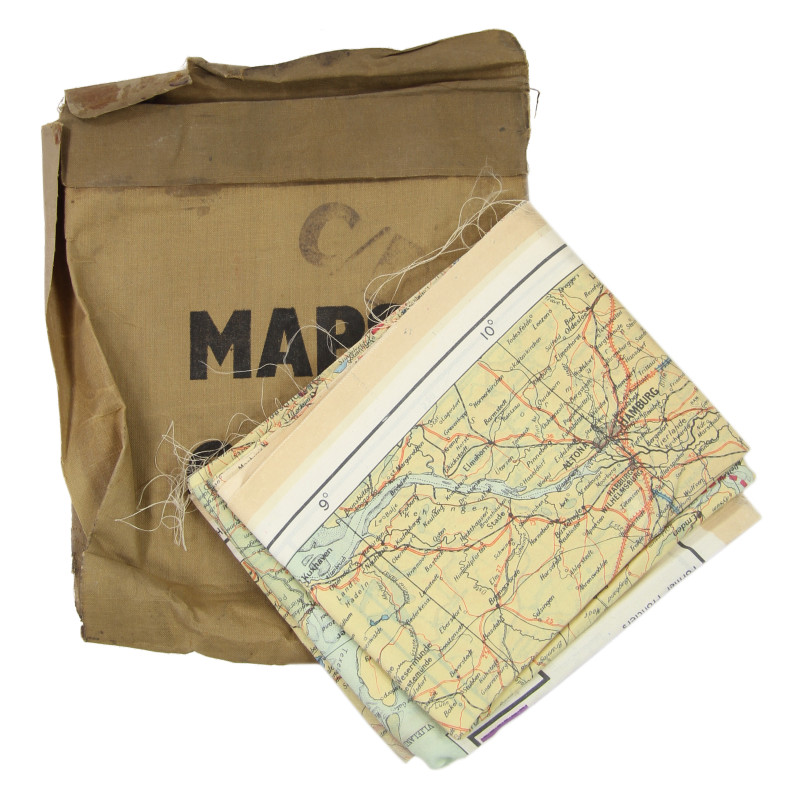

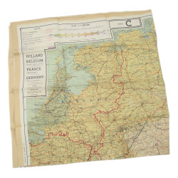
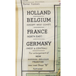
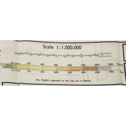
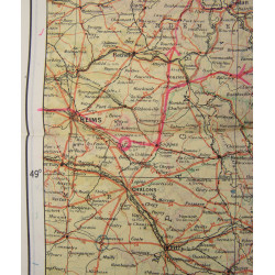

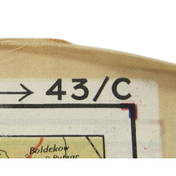
Scarce genuine WWII Allied double-sided silk escape map, heat-treated to prevent the cloth from unravelling. This type was particularly issued to RAF and USAAF aircrews flying over German-occupied Europe as part of their escape and evasion kits. Scale: 1:1,000,000. Dated 1943.
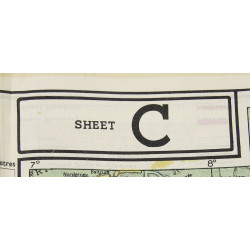
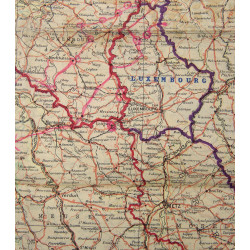
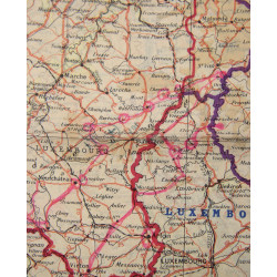
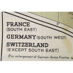
The first side (Sheet C) of the present map covers the Netherlands, the largest part of Belgium, Luxembourg, north-eastern France and western Germany; the second side (Sheet D) covers south-eastern France, south-western Germany, most of Switzerland and part of north-western Italy, and also offers an enlargement of the border region between Belgium, the Netherlands and Germany (scale: 1:250,000).
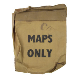
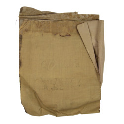
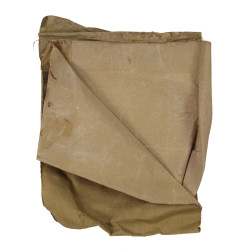
Perfect condition. Comes in its original rubberized cloth pouch (fragile).
You might also like
Scarce genuine WWII Allied double-sided silk escape map, heat-treated to prevent the cloth from unravelling. This type was particularly issued to RAF and USAAF aircrews flying over German-occupied Europe as part of their escape and evasion kits. Scale: 1:1,000,000. Dated 1943.
The first side (Sheet C) of the present map covers the Netherlands, the largest part of Belgium, Luxembourg, north-eastern France and western Germany; the second side (Sheet D) covers south-eastern France, south-western Germany, most of Switzerland and part of north-western Italy, and also offers an enlargement of the border region between Belgium, the Netherlands and Germany (scale: 1:250,000).
Perfect condition. Comes in its original rubberized cloth pouch (fragile).