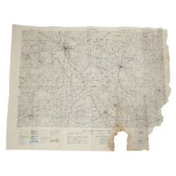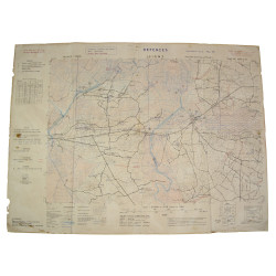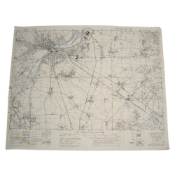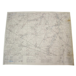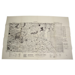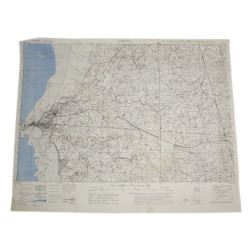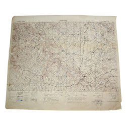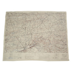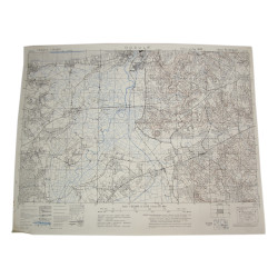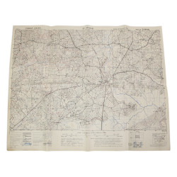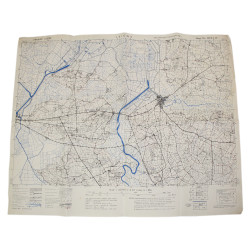


Map, Allied, CARENTAN, Edition of June 1943, Sheet No. 31/18 S.E.
€395.00
Tax included
Rare genuine WWII Allied map of Normandy, Carentan, Sheet 31/18 S.E., scale 1:25,000, edition of June 1943.
Ddrawn by the British General Staff-Geographical Section, the present map covers a large perimeter bounded by the towns of Cretteville, Saint-Côme-du-Mont, Carentan and Le Plessis.
Some of the most emblematic battlefields where the 101st Airborne Division fought the Fallschirmjäger-Regiment 6 and the 17. ᛋᛋ-Panzergrenadier Division „Götz von Berlichingen“ from June 6 to 13, 1944 are visible on the present map -- the 'Dead Man's Corner', Angoville-au-Plain, the 'Purple Heart Lane', La Billonnerie, 'Bloody Gulch'...
Dimensions: 19.48in x 24.60in.
Excellent overall condition.
Product Details
AM25
You might also like